Some links on this page are affiliate links: if you book through them, we may earn a commission at no extra cost to you. How this works
Reykjavik to vik is 186.9 km on Route 1, about 2 hours 47 minutes of driving each way without a stop, and 5 hours 34 minutes there and back, so a day trip spends most of its daylight on the road. The drive runs past Seljalandsfoss and Skógafoss before the black sand at Reynisfjara, and those stops are worth the time they take; in winter the road and the light both shorten what fits in one day.
Tours that cover this route
 Our pick
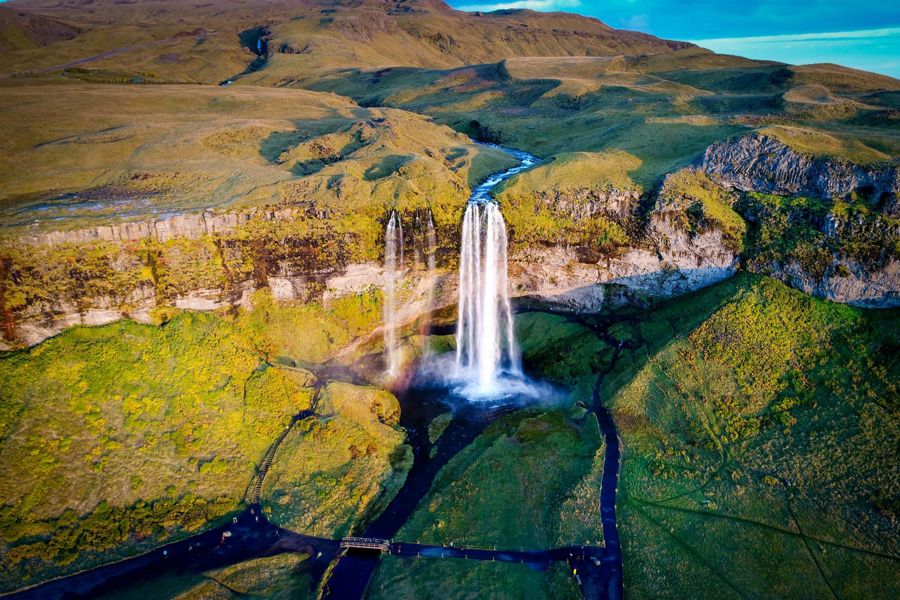
Reykjavik: South Coast Waterfalls, Black Sand & Glacier Tour
Waterfall stops, a black sand beach stop, a glacier viewpoint, transport from Reykjavik
Travellers who want the South Coast stops without driving
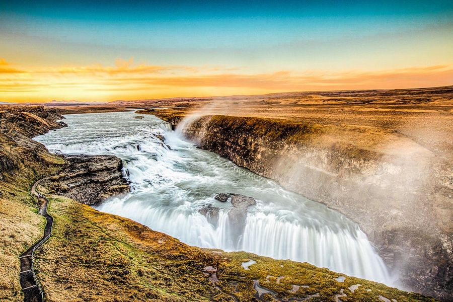
Reykjavik: Golden Circle Full-Day Tour with Kerid Crater
Þingvellir, Geysir, Gullfoss, Kerið crater, transport from Reykjavik
Travellers doing the Golden Circle before a separate South Coast day
What sits between the city and the coast
A reader who checks a map once and assumes a straight run to Vík will miss what the road actually does: it runs inland past several stops before it ever reaches black sand. The distance from Reykjavik to vik is 186.9 km one way by the routed road network, which puts it well past a half-day outing once any stop is added.
That figure is driving only, with no stop and no photograph counted into it. Route 1 leaves the capital, runs past Selfoss and then Hella, and only turns toward the coast proper near Skógafoss. A rented car covers this at normal speed inside three hours, but a coach with passengers loading at every waterfall runs longer.
Reynisfjara, the black sand beach near Vík, carries the most serious hazard on this stretch of coast. Sneaker waves have pulled visitors into the water with no warning, and safetravel.is publishes the safe distance to keep from the shoreline and the reason the surf there is unlike a normal beach. Nobody should walk toward the water at Reynisfjara to get a photograph, whatever the waves look like on arrival.
Vegagerðin, the roads authority, keeps Route 1 open on this stretch through most of the year, though wind and snow can close sections without much notice in winter. Checking road.is before setting out is worth doing even on a rental with a full tank and daylight ahead.
Reykjavik to Vík along Route 1
Driving east from Reykjavik the towns come in this order: Selfoss, Hella, Hvolsvöllur, then the waterfalls and the coast. The line follows the road.
- Reykjavik city centre64.1476° N, 21.9364° W · Open in Google Maps
- Selfoss Fuel and food63.9368° N, 21.0035° W · Open in Google Maps
- Hella63.8355° N, 20.3987° W · Open in Google Maps
- Hvolsvöllur63.7508° N, 20.2238° W · Open in Google Maps
- Seljalandsfoss 128.2 km63.6155° N, 19.9882° W · Open in Google Maps
- Skógafoss 154.9 km63.5321° N, 19.5113° W · Open in Google Maps
- Reynisfjara black sand beach 188.0 km63.4044° N, 19.0588° W · Open in Google Maps
- Vík 186.9 km, about 2 h 47 min63.4188° N, 19.0055° W · Open in Google Maps
- Selfoss (via Hella)
- included on route to Vík · -
- Seljalandsfoss
- 128.2 km, 1 h 58 · 3 h 56
- Skógafoss
- 154.9 km, 2 h 22 · 4 h 44
- Vík
- 186.9 km, 2 h 47 · 5 h 34
- Reynisfjara
- 188.0 km, 2 h 49 · 5 h 38
The towns the road passes through
A common assumption is that the drive to Vík is one long stretch of open coast, when most of the first two hours run past inland towns instead. How far is vik from Reykjavik depends on which stop gets counted along the way, since the road does not go there directly.
Selfoss comes first on the way east, and Reykjavik to hella is the next leg of the same route, with Hella still well before the coastal scenery begins. Both towns are useful fuel and food stops on the way south, not detours off the route.
Bus 51 covers this corridor for travellers without a car, running from the capital through these inland towns before continuing toward Vík. A rented car covers the same ground with more stops possible along the way, at the cost of navigating unfamiliar roads and, in winter, checking conditions before every leg.
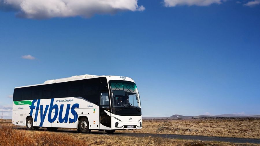
Keflavik Airport (KEF): Bus Transfer to/from Reykjavik
★ 4.7 · 20,988 reviewsTransfer between Keflavík airport and Reykjavik
Where the driving time actually goes
A traveller who has driven a similar distance at home often expects Icelandic roads to move at the same pace, which is not how this route behaves. Reykjavik to selfoss alone can take longer than its distance suggests once traffic near the capital and speed limits through smaller towns are factored in.
Reykjavik to vik driving time distance figures published by different sources disagree because some count stops and some do not. The routed one-way time of 2 h 47 (186.9 km, 116 mi) is driving only, with the return leg at 5 h 34 before any stop is added.
A single stop at Seljalandsfoss or Skógafoss adds real time on top of that figure, since both sit just off the main road and involve parking and walking. Travellers planning a day trip rather than an overnight should build in at least an hour beyond the routed driving time for one or two stops.
- Reykjavik to Seljalandsfoss
- 128.2 km (79.7 mi) · 1 h 58
- Reykjavik to Skógafoss
- 154.9 km (96.3 mi) · 2 h 22
- Reykjavik to Vík
- 186.9 km (116.1 mi) · 2 h 47
- Reykjavik to Reynisfjara
- 188.0 km (116.8 mi) · 2 h 49
Planning around the drive time
Travellers booking a single day often plan the return leg as an afterthought, when it takes as long as the trip out. Reykjavik to vik drive time runs to 2 h 47 one way with no stop counted, which means a there-and-back day with two or three stops added is a long one behind the wheel or on a coach.
Winter shortens the daylight available for this drive substantially against summer, when Reykjavik has close to 21 hours of daylight. Snow and wind can also slow the same route that takes under three hours in clear summer conditions, so building slack into a winter departure time is worth doing.
An overnight in Vík removes the pressure of driving both legs in one day and leaves more daylight for Reynisfjara and the waterfalls along the way. A single long day is still possible for travellers who start early and keep stops short.
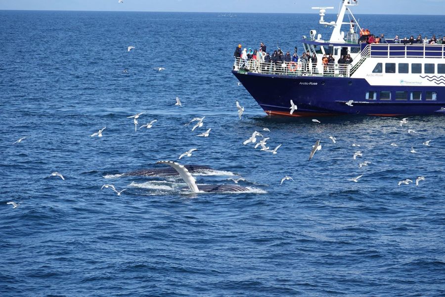
Reykjavik: Whale Watching and Marine Life Cruise
★ 4.5 · 11,217 reviewsWhale watching cruise departing from Reykjavik harbour
Driving it yourself versus booking a seat
A rental car buys the freedom to stop wherever the light looks right, but it also means reading Icelandic road signs and adjusting to conditions with no local backup nearby. A coach seat removes that decision-making, at the cost of a schedule set by the group rather than the weather on the day.
Winter tips this balance further than summer does. Wind gusts strong enough to push a car off line are common on the open stretches near the coast, and a driver unfamiliar with them has less margin than a local operator's coach does.
Fuel stops are less frequent once past Selfoss, so a rented car is worth topping up before leaving the last town with several stations. A packed lunch or a stop in one of the inland towns covers most of what the drive itself does not offer along the way.
Common questions
Frequently asked questions
Is a day trip to Vík realistic without an overnight? Yes, for a traveller who starts early and keeps stops to one or two. The routed drive alone runs to 5 h 34 return, so a full day of daylight is needed either way. Does the road to Vík close in winter? Sections of Route 1 can close during storms, though the road generally stays open through most of the year. Checking road conditions the morning of departure is the safer habit. Is Reynisfjara safe to walk on? The beach is safe from a distance, but sneaker waves have caught visitors who walked toward the shoreline. Staying well back from the water is the standard advice for this stretch of coast. Can the trip be done by public bus? Bus 51 runs the corridor through Hella and Selfoss toward Vík, though it runs on a fixed schedule rather than a flexible one.