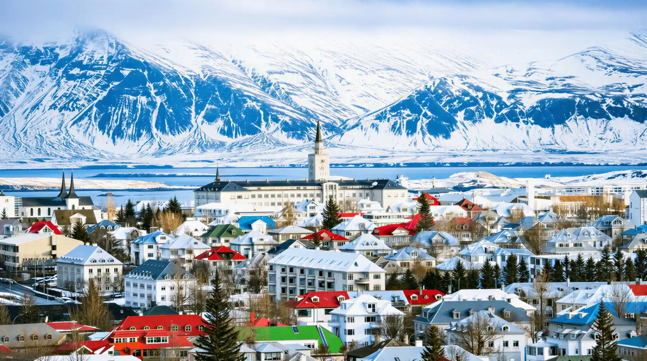
A reykjavik map that only shows the old town misses most of what a visitor actually needs: the pools scattered through the neighbourhoods, the bus stop that connects to the airport routes, and the harbour where whale and puffin boats leave from. Reykjavik is compact enough that most of the sights sit inside a walkable core, roughly 1.5 km across, while the airport, the geothermal pools and the bus network sit further out and need a plan. This page settles where those pieces sit relative to each other and to the wider city, so a printed or digital map makes sense before a single day is booked. It does not cover which sights to prioritise, what a city card includes, or when to travel; those live on their own pages. What follows is the shape of the city: harbour to the north, old town at its centre, pools spread through the districts, and the two airports at very different distances.
 Our pick
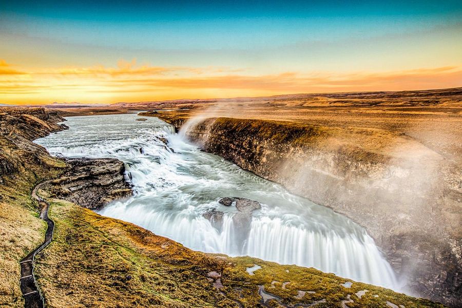
Reykjavik: Golden Circle Full-Day Tour with Kerid Crater
Golden Circle route, Kerið crater stop
A full day out from Reykjavik to Þingvellir, Geysir and Gullfoss
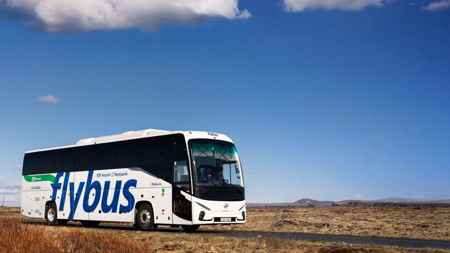
Keflavik Airport (KEF): Bus Transfer to/from Reykjavik
Transfer between Keflavík Airport and Reykjavik
Getting from the main gateway airport into the city
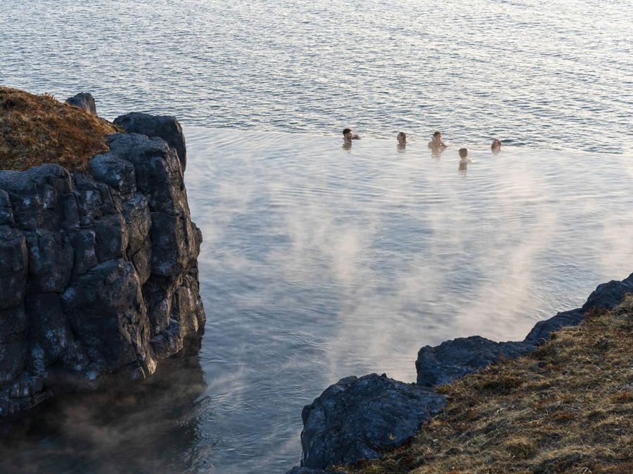
Reykjavik: Sky Lagoon Entrance Pass With 7-Step Spa Ritual
Sky Lagoon entry and the 7-step spa ritual
A pool stop close to the city, near the map's southern edge
Locating the city on the globe
A common mistake is placing Reykjavik further north than it sits, or assuming it is closer to Greenland than to mainland Europe. Where is Reykjavik becomes an easier question once the coordinates are fixed: the city sits at 64.1475 N, 21.935 W, on the southwest coast of Iceland, facing the North Atlantic across Faxaflói bay. That places it well south of the Arctic Circle, though still far enough north that daylight swings hard across the year, from 21.2 hours around the June solstice to 4.1 hours in December.
Reykjavik latitude longitude figures are also useful for judging travel time on a map, not just position: the city is a base for day trips rather than a destination with everything inside it, and most of what a road map shows beyond the harbour is driving distance, not walking distance. Keflavík, the main gateway airport, sits about 47 km away, a drive of roughly 45 minutes by the Flybus service into downtown Reykjavik. A city map that only shows streets within the old town leaves out that context, and a visitor working from one alone tends to underestimate how far the rest of the country actually is from the pin marking the city centre.
The greater capital region reaches a population of 253,230, while the city proper counts 139,804 people, a difference worth knowing when a map appears to show one continuous urban area: several distinct municipalities sit inside what looks like a single city on the screen. The Icelandic Meteorological Office publishes the weather and aurora forecasts tied to this location, and both are worth checking against the map before finalising which neighbourhoods to base a stay in.
{'activity_id': '67018', 'title': 'Reykjavik: South Coast Waterfalls, Black Sand & Glacier Tour', 'includes': 'South coast route covering waterfalls and black sand beach', 'best_for': 'A long day trip departing from central Reykjavik', 'rating': '4.76/5 from 12,274 reviews', 'link': '{{AFF_GYG_REYKJAVIK_MAP_4}}'}


Reading the coordinates on a map app
Typing the city name into a map tool sometimes returns a pin several kilometres off, especially when an app defaults to a broader region label instead of the centre. The Reykjavik longitude figure, 21.935 W, paired with the latitude, fixes the point precisely enough to check any pin against: west of the Greenwich meridian, on the same general line as western Ireland, though the two places feel nothing alike once weather is factored in. A map that centres correctly on this point makes it easier to judge real distances to the sights outside downtown, including the pools spread through the different districts and the harbour where boat tours depart.
Bus stop 12, on the Strætó network, is a common reference point on transit maps of the city because several routes cross there, making it a useful anchor when working out how the pools, the harbour and the old town connect without a car. A single Strætó fare costs 690 ISK, and knowing the fare before boarding avoids delay at the stop. The city's average high climbs from 3.2 degrees Celsius (37.8 degrees Fahrenheit) in January to 14.9 degrees Celsius (58.8 degrees Fahrenheit) in July, a range worth marking against the map when deciding how far to walk between points on a given day, and the US Department of State and the UK FCDO both publish current travel advice for Iceland worth checking before the trip.
Common questions
Is the whole city walkable from a single map view?
The old town is about 1.5 km across and walkable, but the pools, the harbour and the airport sit far enough outside it that a single street-level map view will not show them all at a useful scale.
Which bus stop connects most routes for visitors?
Bus stop 12 on the Strætó network is a common transfer point that appears on most transit maps of the city.
How far is Keflavík airport from the map's city centre?
About 47 km, roughly a 45-minute drive by the Flybus service.
Does a city map show both airports?
Reykjavik has more than one airport in the wider area, and a map focused only on the downtown core will not necessarily show the domestic one at the same scale as Keflavík.
Why does the city look bigger on a map than the population suggests?
The greater capital region, at 253,230 people, spans several municipalities that appear as one continuous built-up area on most map views, while the city proper counts 139,804.