Most people budget one day for the south coast and then discover how much of it is standing in a car park reading a sign about a fee they did not expect. A south coast tour from Reykjavik covers four stops that each charge separately for parking, close sections of themselves in bad weather, and sit far enough apart that the driving alone takes over four hours round trip. This page sets out what each stop actually costs and closes, so the day can be planned around the real numbers rather than a brochure photo.
 Our pick
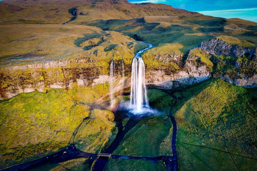
Reykjavik: South Coast Waterfalls, Black Sand & Glacier Tour
Seljalandsfoss and Skogafoss stops · Reynisfjara black sand beach · glacier viewpoint
First-time visitors wanting the full four-stop route in one guided day
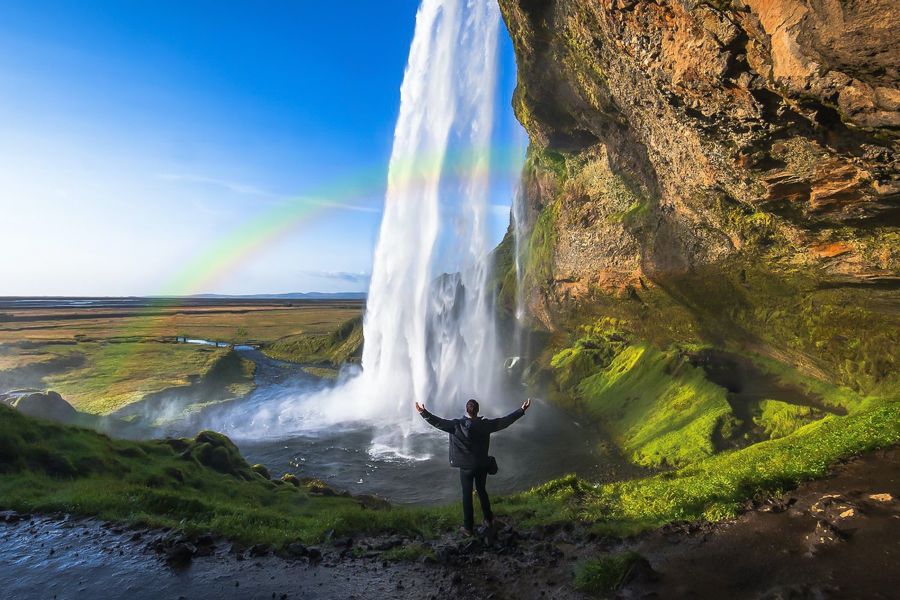
South Coast Classic: Full-Day Tour from Reykjavik
Seljalandsfoss · Skogafoss · Reynisfjara
Readers who want the classic three-stop day without a glacier add-on
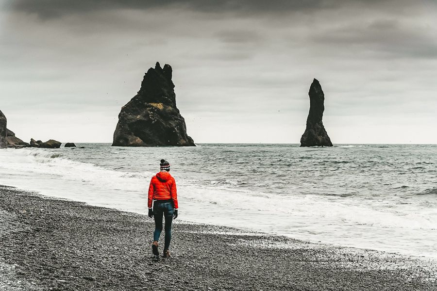
Iceland: Full-Day South Coast, Black Beach & Waterfalls Tour
Waterfall stops · Reynisfjara black sand beach · Vik area
A straightforward full-day option with a smaller group price point
Why one day rarely covers the whole coast comfortably
A single day is tight once the driving is added up. Seljalandsfoss is 128.2 km from Reykjavik, about 118 minutes each way; Skogafoss is 154.9 km, about 142 minutes; Reynisfjara is 188.0 km, about 169 minutes; and Vik itself sits at 186.9 km, about 167 minutes. Stacking all four into a single loop before dark, with parking, walking and weather delays on top, is why a 2 day south coast iceland tour is worth weighing against a rushed one-day version, especially outside the long daylight months.
A south iceland tour map makes the shape of the problem clear before it is felt on the road: every stop after Seljalandsfoss adds real distance rather than a short detour, and the return leg to Reykjavik is the same distance again. Reading the distances on a map before booking avoids arriving at Reynisfjara with under an hour of daylight left to see it properly.
Distance and drive time from Reykjavik
- Seljalandsfoss
- 128.2 km, about 118 min
- Skogafoss
- 154.9 km, about 142 min
- Reynisfjara
- 188.0 km, about 169 min
- Vik
- 186.9 km, about 167 min
What the parking fees actually add up to
Every one of the main stops now charges for parking, and the fees are not the same from site to site. Seljalandsfoss charges 900 ISK for a car, with a 10-minute grace period before the fee applies and a 100 ISK admin fee added if it goes unpaid. Skogafoss charges 1,000 ISK for a Category A car and 1,300 ISK for Category B, at a car park now built about 500 m from the falls after the old lot inside the nature reserve closed to vehicles from 1 January 2026. Reynisfjara charges 1,000 ISK at the lower lot nearest the beach or 750 ISK at the upper lot, a five-minute walk further. None of these fees appears on a rental confirmation, so a south of iceland tour that stops at all three sites should budget close to 3,000 ISK in parking alone, per car, before fuel.
An iceland south coast tour self drive trip carries one more variable a guided tour does not: road conditions along the Ring Road, which Vegagerðin publishes and updates through the season. Checking the road status before setting out matters more on this route than most, since the drive runs past glacier outwash plains where conditions can change faster than a weather forecast alone would suggest.
Parking fees at the main stops
| Seljalandsfoss, car | 900 ISK |
| Skogafoss, car (Category A) | 1000 ISK |
| Skogafoss, car (Category B) | 1300 ISK |
| Reynisfjara, lower lot | 1000 ISK |
| Reynisfjara, upper lot | 750 ISK |
- 900 ISK
- 1000 ISK
- 1300 ISK
- 1000 ISK
- 750 ISK
Where the closures and safety rules actually apply
Each stop closes or restricts access in its own way, and none of it is announced until arrival. The footpath behind Seljalandsfoss shuts whenever ice risk on the cliff face is high, and reopens only when conditions allow, which can mean days at a time in winter. At Skogafoss, the 527-step metal staircase to the top is roped off with a closed sign whenever ice makes it too dangerous to climb, and the steps themselves have a handrail on only one side, with no barrier at all on some sections. A south shore tour iceland itinerary that assumes every viewpoint will be open on the day is planning around the brochure rather than the site.
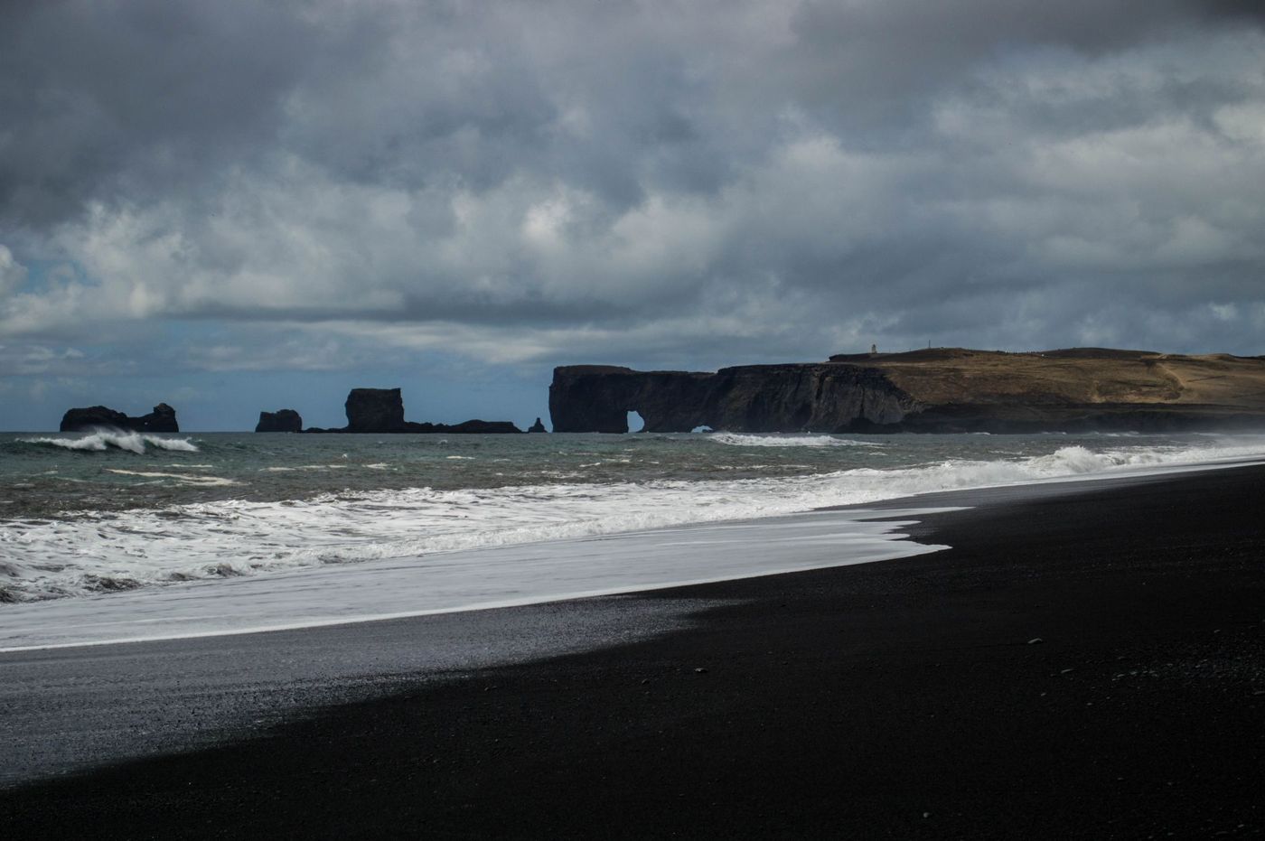
Reynisfjara carries the most serious of the closures. A physical gate now blocks the walkway to Stuðlaberg and Hálsanefshellir cave whenever the beach's red warning light is active, and that light has been triggered roughly 30% more often since the wave-height threshold was tightened.
Why Reynisfjara's warning system needs reading, not guessing
The beach's danger is not evenly spread and the warning system reflects that rather than a blanket closure. Since December 2022 the site has used one illuminated light sign, three large information signs, six guide signs and a 300 m chain marking a safe route, fed by an automated wave-forecasting model built by Vegagerðin and live surveillance cameras streamed to the police in Selfoss. A yellow light means staying out of the yellow-marked zone; a red light means not passing the sign at all and staying up on the beach ridge. A southern iceland tour that includes Reynisfjara is worth timing around this system rather than around a fixed itinerary slot, since the light state can change during a single visit.
The record of deaths at the beach explains why the system exists. A 9-year-old German girl was swept into the sea near Hálsanefshellir cave on 2 August 2025. An 80-year-old Canadian man was swept out to sea and killed on 10 June 2022, and the next day a group of six people including a German family was caught by a wave at the same spot but escaped without serious injury. A tourist was swept away and killed by a wave on 10 February 2016. An 80-year-old American woman was swept into the sea and killed by a wave in 2007.
What a private booking changes and what it does not
Booking a private vehicle changes the pace of the day, not the rules at each stop. The parking fees, the staircase closures and the Reynisfjara warning-light system apply identically whether the group is a coach of forty or a single car. What a private south coast tour iceland booking buys is control over how long to stay at each site, useful given that Skogafoss alone has a 527-step staircase that slower walkers may want longer at than a fixed group schedule allows.
Vík itself, the small settlement most day tours treat as a turnaround point or lunch stop, has a population of 740 in the Vík í Mýrdal locality and sits within Mýrdalshreppur municipality, whose population passed 1,000 for the first time in 2026. Its church, Víkurkirkja, stands on high ground above the village and is considered one of the few buildings likely to survive a Katla-triggered glacial flood, serving as the village's designated evacuation point.
Whether to spread the route over more than one day
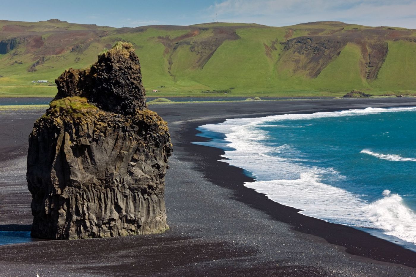
Splitting the route changes what fits into daylight rather than what the sites cost or close. A 3 day south coast tour iceland itinerary allows time for the Fimmvörðuháls trail near Skogafoss, a 25 km route with 1,000 m of total elevation gain that Ferðafélag Íslands rates as a 1 to 2 day hike on its own, alongside the standard waterfall and beach stops. It also allows slower mornings at Reynisfjara, useful given how much the beach itself has changed: sustained storms in January and February 2026 stripped sand from the shoreline as far as the warning signs, collapsed a bank off Reynisfjall, and left Hálsanefshellir cave sitting in the surf and inaccessible.
None of this changes the parking or closure rules already covered. It only changes how much of each stop is seen before moving on, and how much flexibility is left if a staircase or a walkway is closed on the day.
Where a glacier add-on fits into the day
Adding ice to the route means adding time, not swapping one stop for another. A south iceland glacier tour typically pairs the standard waterfall and beach stops with a walk on or near Mýrdalsjökull, the ice cap that sits above Katla, or with a purpose-run ice cave outside the main summer season. Katla last erupted through the ice cap in 1918, in an eruption that started on 12 October and lasted 24 days, and its historical interval was about every 50 years on average from Iceland's settlement until 1918, meaning over 100 years have now passed since the last eruption broke through the ice.
The region's civil-protection plan reflects that gap rather than an active event: seismic monitoring may give 4 to 6 hours' warning before an eruption starts, and the built-in evacuation response time is 15 to 20 minutes for Sólheimabær and up to 30 minutes elsewhere in the hazard zone. None of this closes the glacier to visitors on an ordinary day, but it is part of why glacier operators run under a fixed set of access rules rather than open terrain.
Common questions
Can Seljalandsfoss, Skogafoss and Reynisfjara all be done in one day?
Yes, but the driving alone is over four hours round trip from Reykjavik once all three are included, before parking, walking and weather delays.
Does the Reynisfjara warning light apply to guided tour groups too?
Yes. The gate across the walkway to Stuðlaberg and Hálsanefshellir cave closes for everyone when the red light is active, regardless of how the visit was booked.
Is the Skogafoss staircase always open?
No. It is roped off with a closed sign whenever ice makes the 527 steps too dangerous to climb.
Do the waterfalls charge an entry fee or only for parking?
Only parking. Seljalandsfoss and Skogafoss both charge for the car park, not for viewing the falls themselves, and toilet use at Seljalandsfoss and Reynisfjara is free.