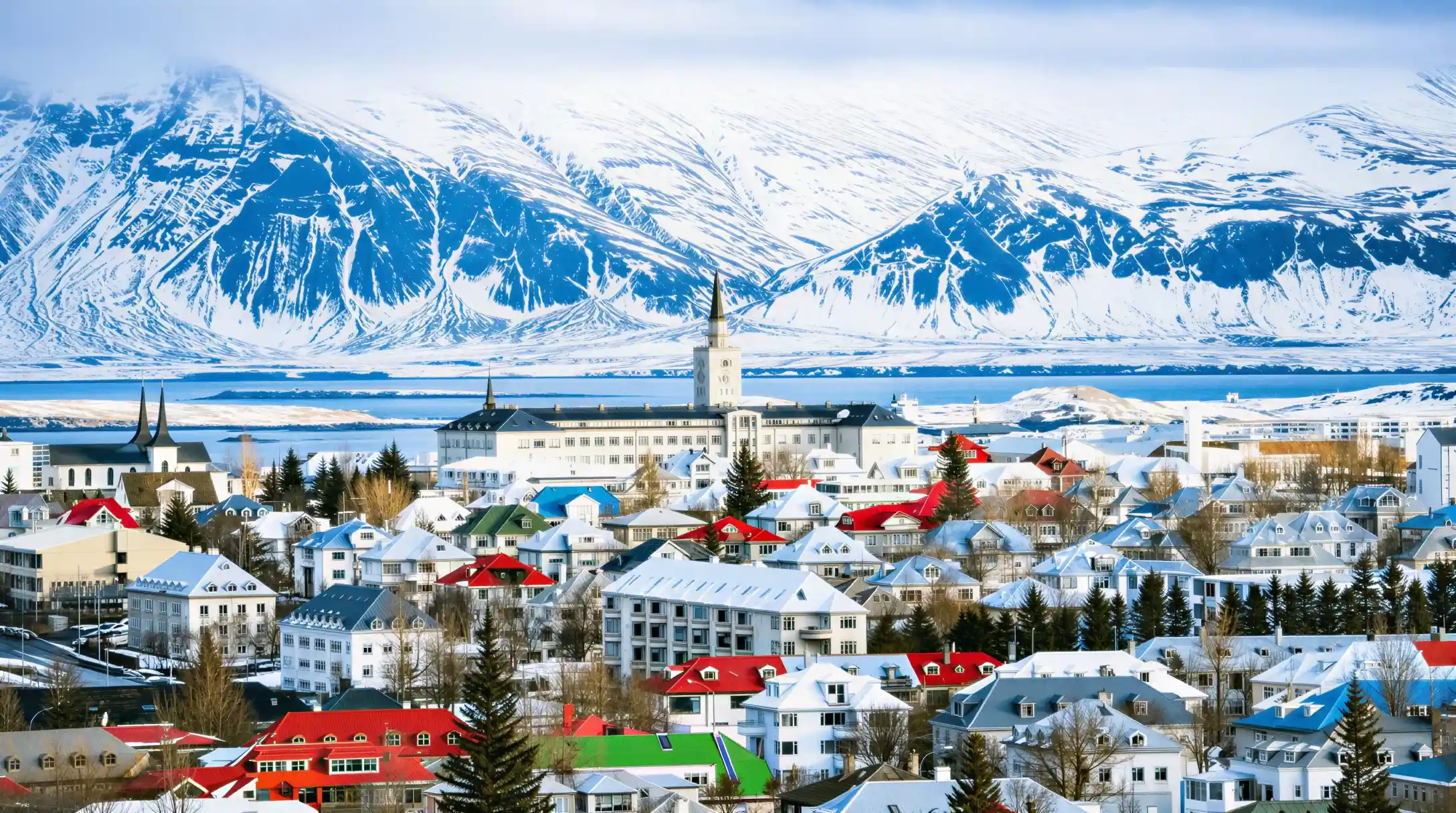
Most people planning a ring road iceland trip start with the wrong question. They ask how many days they can spare, then try to fit the country around that number, and the itinerary falls apart somewhere past the south coast. The right order is the reverse: the road decides the minimum, and the calendar decides whether the road is even open. Route 1 runs about 1,300 km (around 808 mi) in a single loop around the island, and it was completed in 1974, connecting the regions it now carries tourists between. Eight days makes it a holiday with room to stop; six days makes it a driving schedule with the country passing through the windscreen. Both are sold as ring road packages, and this page separates what each one actually buys before it says which direction to drive and what shuts in winter.
The distance alone does not explain the time it takes. Icelandic roads outside the capital area are mostly two-lane, some sections are gravel, and weather can add hours a map will never show. A driver who treats the ring road as a straight multiplication of distance and speed limit arrives exhausted and has seen almost nothing, because the country's best stops sit off the main route, not on it.
Building the schedule that actually fits
Most iceland ring road itinerary plans found online assume good weather, empty roads and a driver who never stops for a photograph. None of those hold for more than a day or two, and the itineraries that promise the whole loop in five or six days tend to name the same handful of stops, in the same order, regardless of season. A visitor working from one of those plans arrives at Gullfoss at dusk, or drives the south coast in the dark, and never notices until the trip is already over that the schedule was built for a road with no traffic and a driver with no need to eat.
The honest version starts from the destinations, not the days. Working outward from Reykjavik, Þingvellir sits 47.6 km away (47 min one way), Gullfoss 123.1 km (1 h 52), Vík 186.9 km (2 h 47) and Jökulsárlón 377.7 km (5 h 40). Stacking those legs across a loop, rather than trying to compress them into a fixed number of nights, is what produces a schedule that survives contact with actual weather. Eight days spreads the driving so that no single day exceeds about four hours behind the wheel; six compresses two of those days into one and removes the margin for a closed pass or a delayed ferry crossing.
Direction matters more than most itineraries admit. Clockwise puts the south coast first, while the light and the crowds are both still building; counter-clockwise reaches the north and east first, which suits a trip planned around the aurora season from late August to mid-April, since darkness arrives earlier on that side of the loop in autumn. Neither direction changes the total distance, only the order the stops arrive in.
Reading the map correctly
An iceland ring road map looks simple until the distances are converted into hours, and that gap is where most trip plans go wrong. The loop looks like a single continuous highway on paper, but the drive between two points on the same page can run from under an hour to most of a day, and a map with no time scale hides that completely. Reykjavik sits close to several of the country's best-known stops: Þingvellir, Geysir and Gullfoss together form the Golden Circle, a loop of about 3 h 45 of driving that fits inside a single day without touching the ring road proper.
Once the route leaves the capital region, the distances stretch out fast. Vík is 186.9 km away (2 h 47 one way), Reynisfjara 188.0 km (2 h 49) and Jökulsárlón 377.7 km (5 h 40), a one-way drive that alone exceeds the driving time most people budget for an entire day. A map that shows these points as evenly spaced dots invites a schedule that cannot be driven safely in the time allotted. The fix is not a better map; it is treating the drive time column, not the kilometre column, as the number that decides the day.
Vegagerðin publishes current road conditions for the whole network, and checking it before departure catches the gravel sections, single-lane bridges and any closure a printed map cannot show.
What a full loop actually costs in time
A number that rarely makes it into a trip plan is how much of each day disappears before a single stop happens. Driving 200 km on a two-lane road with a 90 km/h (56 mph) limit, occasional gravel and no motorway shortcuts takes noticeably longer than the same distance would on an interstate or a UK dual carriageway, and that difference compounds across an eight-day loop. A day that looks like 300 km on the odometer can run past four hours of driving before any stop is counted, leaving less daylight than expected for the waterfall, the glacier walk or the black sand beach the day was actually built around.
The practical answer is to budget driving time first and sightseeing time second, then check whether anything is left over. A day with 4 hours of driving and 4 hours of stops is achievable in summer's long daylight; the same day in November, with roughly 4 to 5 hours of daylight, needs to be split across two days instead. Reykjavik has 21.2 hours of daylight in June against 4.1 in December, and that swing changes what a single day on the ring road can realistically hold far more than the distance does.
The distance nobody agrees on
The iceland ring road length is quoted differently depending on where the count starts and where the loop is measured. Vegagerðin, the national road authority, describes Route 1 as "more than 1,300 km", while other sources put it at 1,309, 1,322 or 1,328 km depending on which spur roads and river crossings are included in the count. None of these numbers is wrong exactly; they are measuring slightly different versions of the same loop, since Route 1 has been rerouted and bridged in places since it was completed in 1974.
For planning purposes, about 1,300 km (roughly 808 mi) is the figure to work from, and the exact final digit changes nothing about how the trip is scheduled. What matters more than the precise kilometre count is that the total is driven in stages, not as a single continuous journey, and that the stages differ sharply in length: some legs, like Reykjavik to Þingvellir, take under an hour, while others, like the drive to Jökulsárlón, take most of a working day on their own. Vegagerðin is the authority to check for the current state of any individual stretch before departure, since sections are resurfaced, rerouted or temporarily closed from year to year.
| Leg | One way | Round trip |
|---|---|---|
| Reykjavik to Þingvellir | 47.6 km, 47 min | 1 h 34 |
| Reykjavik to Gullfoss | 123.1 km, 1 h 52 | 3 h 44 |
| Reykjavik to Vík | 186.9 km, 2 h 47 | 5 h 34 |
| Reykjavik to Jökulsárlón | 377.7 km, 5 h 40 | 11 h 20 |
- One way
- 47.6 km, 47 min
- Round trip
- 1 h 34
- One way
- 123.1 km, 1 h 52
- Round trip
- 3 h 44
- One way
- 186.9 km, 2 h 47
- Round trip
- 5 h 34
- One way
- 377.7 km, 5 h 40
- Round trip
- 11 h 20
What summer changes
An iceland ring road summer scenery trip and a winter one are close to two different countries. Summer brings up to 21.2 hours of daylight in June, which removes the pressure to finish driving before dark and opens up stops that a winter schedule has no daylight left for. Roads that close seasonally, including the highland F-roads, tend to open in June: F208 opens around 2 June and F225 around 16 June on average, dates that Vegagerðin sets and publishes each year rather than fixing to a calendar date in advance.
The trade-off is traffic and booking pressure. Popular stops along the loop draw far more cars in July and August than in the shoulder months, and accommodation along the route, especially in smaller towns with few beds, sells out weeks ahead in peak summer. A loop planned for July needs its overnight stops booked well before the driving days are finalised, since the itinerary can end up built around where a room is available rather than where the day's driving naturally ends.
Answering the length question directly
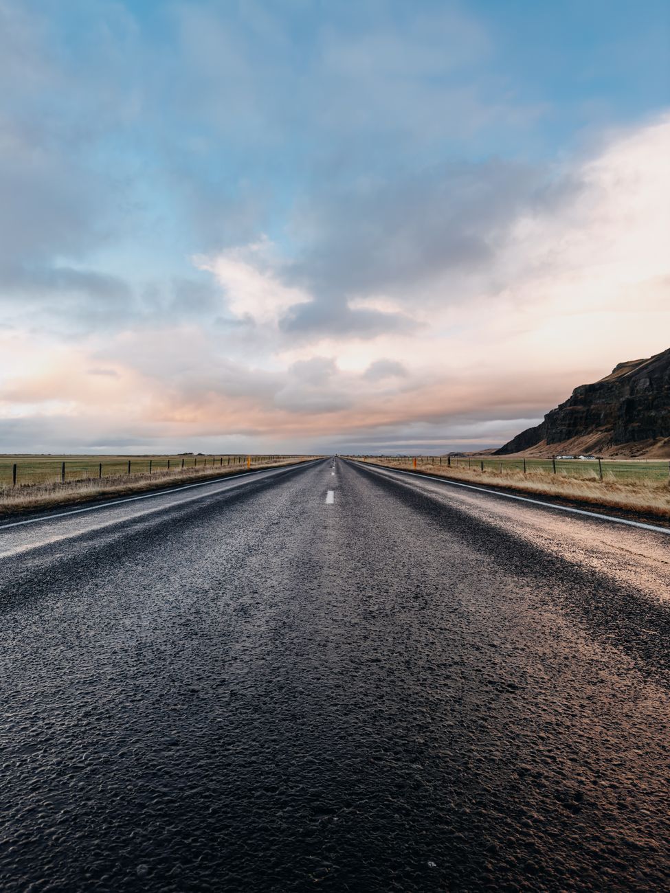
How long is the ring road in iceland is really two separate questions: the distance and the time. The distance is about 1,300 km (808 mi), completed as a continuous route in 1974. The time depends entirely on the pace: eight days allows a driving day of around four hours with time left for stops, while six days pushes some days close to six or seven hours of driving alone, leaving little room for anything but the road itself.
Neither figure accounts for weather delays, and Iceland's weather changes fast enough that a day planned around dry roads can turn into one spent behind a closure notice. Checking road conditions each morning of the trip, rather than once before departure, is the difference between a day that runs to schedule and one that does not. A loop that allows a spare half-day somewhere in the middle absorbs a closure or a long weather delay without cancelling anything else on the itinerary.
The waterfalls that shape the schedule
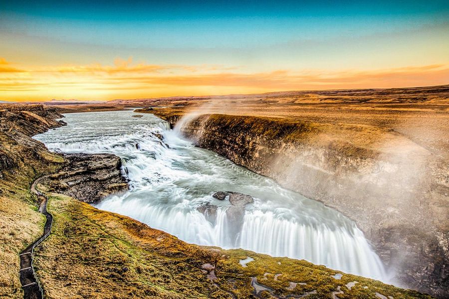
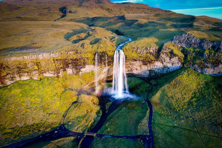
An iceland ring road waterfall stop is rarely a five-minute detour, and treating it as one is where several day plans run late. Skógafoss sits 154.9 km from Reykjavik (2 h 22 one way), with a car park now charging 1,000 ISK. Seljalandsfoss, 128.2 km away (1 h 58), charges 900 ISK to park, and both fees apply regardless of how long the stop lasts. Gullfoss, 123.1 km out (1 h 52), remains free to park at, which is worth knowing when the day's budget is already stretched by two paid stops earlier in the drive.
None of these are quick photo stops in practice. Skógafoss has a staircase to the top of the falls that many visitors climb, and Seljalandsfoss has a path behind the falls that is often wet underfoot; both add 20 to 40 minutes beyond simply viewing the falls from the car park. A day that includes both, plus the drive between them, needs that time built in before the next leg is planned, not treated as a rounding error against the drive time alone.
Converting the distance
How many miles is the ring road in iceland comes up often enough that it is worth stating plainly: about 1,300 km converts to roughly 808 mi, using the same "about" that applies to the kilometre figure, since the exact total depends on which version of the route is measured. Route 1 was completed in 1974, and the various figures cited since, 1,309, 1,322 or 1,328 km, all sit close enough together that the mile conversion barely moves between them, landing anywhere from about 813 to 825 mi depending on the source.
For a driver used to thinking in miles, the more useful number is not the total but the daily average it implies. Spread across eight days, about 1,300 km averages out to roughly 162 km (101 mi) of driving a day, though the actual days are never that even: some legs, like the run to Jökulsárlón, are several times that length on their own, while a rest day near Akureyri or Vík can involve almost no driving at all.
What the scenery actually changes along the way
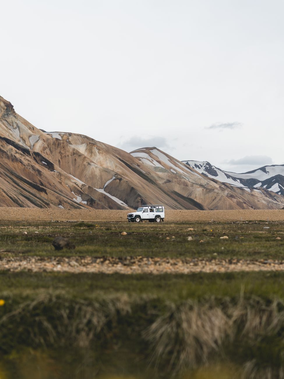
An iceland ring road scenery trip shifts character by region in a way flat mileage numbers do not capture. The south coast, within reach of Skógafoss, Seljalandsfoss and Reynisfjara, is the most visited stretch and the one most itineraries lean on, while the east and north see far fewer cars per day despite being no less dramatic. A loop that only covers the south coast, then turns back rather than completing the full circuit, is a shorter and different trip from the one this page describes, and some packages sell exactly that shortened version under the same "ring road" name.
Weather also changes what the scenery looks like on any given day rather than any given season. A clear day at Jökulsárlón shows icebergs against open water; an overcast one shows the same icebergs against flat grey sky, and no schedule can guarantee which a visitor gets. Building slack into the itinerary, so that a poor-visibility day at one stop can be followed by a return visit or an extra hour elsewhere, does more for the trip than chasing a fixed daily mileage target.
What a tour price leaves out
A booked tour along any stretch of the ring road rarely covers everything a traveller assumes it does. Admission to a lagoon or a museum at the end of the day is the most commonly missed cost, followed by food along the route, and, for anyone driving independently rather than joining a tour, the parking fee at stops that now charge one. None of these are hidden exactly; they simply sit outside the headline price, in the same way an airfare excludes checked baggage.
Þingvellir, Geysir, Skógafoss, Seljalandsfoss and Sólheimajökull all now charge for parking, from 750 to 1,000 ISK depending on the site, while Gullfoss remains free. A visitor budgeting only for fuel and accommodation across an eight-day loop can find these fees add up to a meaningful sum by the end of the trip, particularly if the itinerary includes several paid stops in a single day.
Choosing a direction
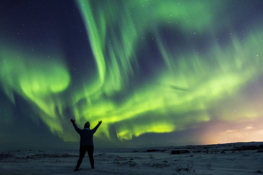
Clockwise and counter-clockwise cover the same distance, but they change what a driver sees first and what conditions they meet along the way. A clockwise loop from Reykjavik reaches the south coast within the first day or two, while daylight and weather are typically at their most cooperative in summer. A counter-clockwise loop reaches the north and east first, which some travellers prefer in shoulder season, when darkness sets in earlier on the loop's eastern side and the aurora season, running from late August to mid-April, makes an early arrival in a darker region more useful than one on the still-bright south coast.
Neither direction avoids the country's least predictable stretches. Weather along the east and north can shift quickly regardless of which day of the loop a driver reaches them, and checking road conditions each morning matters just as much on day two as it does on day seven. The choice of direction affects the order of the trip's highlights far more than it affects total driving time or overall difficulty.
Package or self-drive
A package handles the driving, the route planning and, usually, the accommodation booking, in exchange for a fixed schedule that leaves little room to linger somewhere unplanned. A self-drive trip trades that structure for flexibility: a traveller can add an extra night near a waterfall that turned out to be worth it, or skip a stop that weather has ruined, at the cost of booking every night's accommodation themselves and driving every kilometre without a guide's local knowledge of current road conditions.
Six-day packages compress the loop into a schedule with several long driving days and few rest days; eight-day versions spread the same distance more evenly and generally match the pace described earlier on this page. Neither option removes the need to check conditions daily. Safetravel.is, run by ICE-SAR, publishes outdoor safety guidance, including river crossings and coastal hazards, that applies equally whether the loop is driven independently or as part of a booked tour.