Some links on this page are affiliate links: if you book through them, we may earn a commission at no extra cost to you. How this works
The drive time between katla ice cave and Reykjavik is about 2 hours 47 minutes to Vík, 186.9 km (116.1 mi) on Route 1, because the ice cave tours start there; from Vík a super jeep takes about 40 minutes to the edge of the Kötlujökull glacier, and the walk on the ice to the cave is another 10 to 15 minutes. Allow about three and a half hours from Reykjavik to the cave entrance.
Reykjavik sits at one corner of the country, and almost everything worth seeing is a drive away from it, not a walk. A routed, one-way drive time over the actual road network is not a tour length, which adds the stops and the time on site.
 Our pick
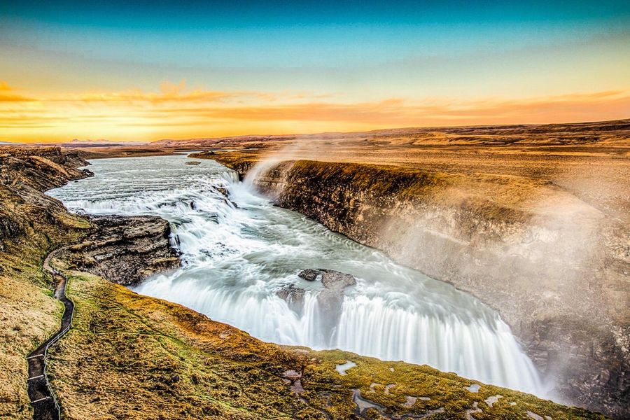
Reykjavik: Golden Circle Full-Day Tour with Kerid Crater
Þingvellir, Geysir, Gullfoss and Kerid, guided, round trip from Reykjavik
A first look at the Golden Circle in one seated day, no driving required
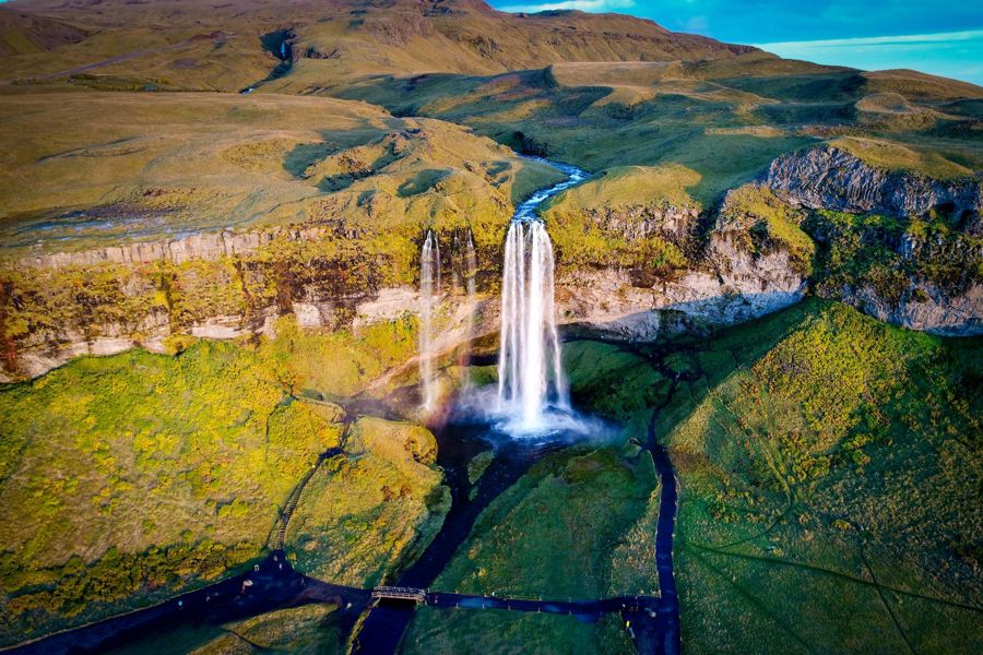
Reykjavik: South Coast Waterfalls, Black Sand & Glacier Tour
Seljalandsfoss, Skogafoss, Reynisfjara and a glacier stop, guided, round trip from Reykjavik
The south coast run without renting a car for the longer distances involved
What "a day trip" actually costs in hours
Most people ask how far is golden circle from Reykjavik expecting a single number, and there is one, but it hides the shape of the day. Þingvellir, Geysir and Gullfoss sit at 47.6 km, 115.3 km and 123.1 km from Reykjavik respectively, each reachable in under two hours on its own, and the loop that links all three runs to roughly 3 hours 45 minutes of driving before a single stop is counted. That is a route, not a schedule: walking Þingvellir's rift, watching Strokkur erupt and standing at Gullfoss all take time the drive time never included.
The same gap shows up at national scale. An iceland ring road drive time figure is harder to state plainly than a single leg like Reykjavik to Gullfoss, because Route 1 is a loop rather than a there-and-back journey, and its length is given by Vegagerðin only as "more than 1,300 km", with other sources landing anywhere from 1,309 to 1,328 km depending on where the measurement starts. A driver planning a circuit should treat that as a range to plan around, not a fixed total to check off.
Routed drive times from Reykjavik, one way
| Destination | Road distance | Drive time |
|---|---|---|
| Sky Lagoon | 7.5 km (4.7 mi) | 13 min |
| Keflavík Airport | 47.2 km (29.3 mi) | 47 min |
| Þingvellir | 47.6 km (29.6 mi) | 47 min |
| Blue Lagoon | 49.2 km (30.6 mi) | 50 min |
| Kerið | 68.7 km (42.7 mi) | 1 h 03 |
| Geysir | 115.3 km (71.7 mi) | 1 h 44 |
| Gullfoss | 123.1 km (76.5 mi) | 1 h 52 |
| Seljalandsfoss | 128.2 km (79.7 mi) | 1 h 58 |
| Skógafoss | 154.9 km (96.3 mi) | 2 h 22 |
| Sólheimajökull | 165.1 km (102.6 mi) | 2 h 30 |
| Landmannalaugar | 182.4 km (113.3 mi) | 2 h 57 |
| Vík | 186.9 km (116.1 mi) | 2 h 47 |
| Katla ice cave (tours start in Vík) | 186.9 km (116.1 mi) to Vík | 2 h 47, then about 40 min by super jeep |
| Reynisfjara | 188.0 km (116.8 mi) | 2 h 49 |
| Snæfellsnes | 202.6 km (125.9 mi) | 3 h 02 |
| Jökulsárlón | 377.7 km (234.7 mi) | 5 h 40 |
- Road distance
- 7.5 km (4.7 mi)
- Drive time
- 13 min
- Road distance
- 47.2 km (29.3 mi)
- Drive time
- 47 min
- Road distance
- 47.6 km (29.6 mi)
- Drive time
- 47 min
- Road distance
- 49.2 km (30.6 mi)
- Drive time
- 50 min
- Road distance
- 68.7 km (42.7 mi)
- Drive time
- 1 h 03
- Road distance
- 115.3 km (71.7 mi)
- Drive time
- 1 h 44
- Road distance
- 123.1 km (76.5 mi)
- Drive time
- 1 h 52
- Road distance
- 128.2 km (79.7 mi)
- Drive time
- 1 h 58
- Road distance
- 154.9 km (96.3 mi)
- Drive time
- 2 h 22
- Road distance
- 165.1 km (102.6 mi)
- Drive time
- 2 h 30
- Road distance
- 182.4 km (113.3 mi)
- Drive time
- 2 h 57
- Road distance
- 186.9 km (116.1 mi)
- Drive time
- 2 h 47
- Road distance
- 186.9 km (116.1 mi) to Vík
- Drive time
- 2 h 47, then about 40 min by super jeep
- Road distance
- 188.0 km (116.8 mi)
- Drive time
- 2 h 49
- Road distance
- 202.6 km (125.9 mi)
- Drive time
- 3 h 02
- Road distance
- 377.7 km (234.7 mi)
- Drive time
- 5 h 40
Routed on the OpenStreetMap road network with OSRM.
Reading the round trip, not just the leg out
The Reykjavik to golden circle drive time on its own understates the day, because every one of these figures is one way. Double the driving time for a there-and-back trip before adding a single photo stop, a coffee, or a queue at Geysir's car park: the Golden Circle loop above already reflects that doubling across three stops, which is why it runs to nearly four hours of driving alone.
The same doubling problem applies to a distance of ring road iceland estimate used for trip planning. A driver circling the country once, rather than visiting one coastal town and turning back, still needs to plan against a route of roughly 1,300 km with no fixed lower or upper bound published by Vegagerðin. Treating either number, the Golden Circle loop or the ring road total, as the whole day is the single most common planning mistake this page exists to correct.
The table on a map
Reykjavik first, then the places in the distance table in its own order, nearest first by road.
- Reykjavik city centre64.1476° N, 21.9364° W · Open in Google Maps
- Sky Lagoon64.1165° N, 21.9464° W · Open in Google Maps
- Keflavík Airport (KEF)63.9950° N, 22.6239° W · Open in Google Maps
- Þingvellir National Park64.2561° N, 21.1298° W · Open in Google Maps
- Blue Lagoon63.8799° N, 22.4481° W · Open in Google Maps
- Kerið crater64.0410° N, 20.8846° W · Open in Google Maps
- Geysir and Strokkur64.3127° N, 20.3008° W · Open in Google Maps
- Gullfoss64.3273° N, 20.1191° W · Open in Google Maps
- Seljalandsfoss63.6155° N, 19.9882° W · Open in Google Maps
- Skógafoss63.5321° N, 19.5113° W · Open in Google Maps
- Sólheimajökull glacier63.5300° N, 19.3700° W · Open in Google Maps
- Landmannalaugar63.9905° N, 19.0605° W · Open in Google Maps
- Vík63.4188° N, 19.0055° W · Open in Google Maps
- Reynisfjara black sand beach63.4044° N, 19.0588° W · Open in Google Maps
- Snæfellsnes (Kirkjufell)64.9399° N, 23.3075° W · Open in Google Maps
- Jökulsárlón glacier lagoon64.0783° N, 16.2274° W · Open in Google Maps
Keflavik Airport (KEF): Bus Transfer to/from Reykjavik
★ 4.7 · 20,988 reviewsDirect coach transfer between Keflavík Airport and Reykjavik city centre
The south coast is a longer day than the map suggests
A reykjavik to reynisfjara drive time of 2 hours 49 minutes each way reads like an afternoon outing until the return leg is added: 188.0 km out becomes 376 km round trip, close to 5 hours 38 minutes of driving before the black sand beach itself, Reynisfjara's own operator, or the waterfalls along the way are counted. Reynisfjara itself has no entry fee, only a charge at the two car parks nearby.
A distance around iceland ring road comparison puts that single leg in context: the drive to Reynisfjara alone is close to a third of the roughly 1,300 km loop that the full ring road represents. Anyone stacking Seljalandsfoss, Skogafoss and Reynisfjara into one day is stacking three stops onto a drive that already runs past five and a half hours round trip.
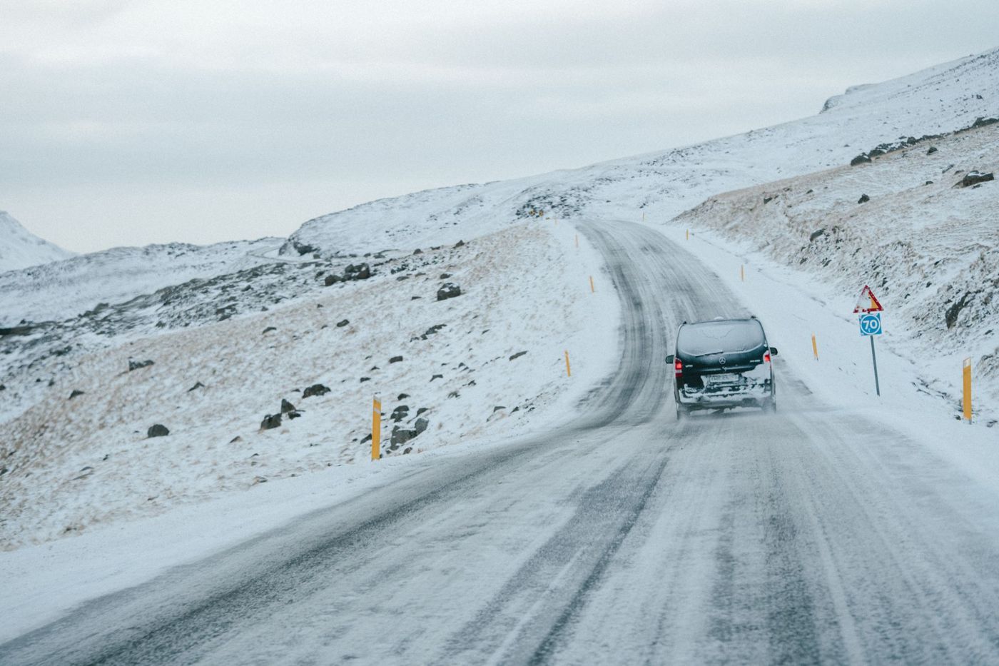 A snow-covered road on the south coast
Glacier routes run longer than waterfall routes
A reykjavik to langjökull glacier distance question usually comes from someone comparing an ice cave day against a Golden Circle day, and the two are not close. Sólheimajökull, the glacier tongue most day tours actually reach, sits at 165.1 km and 2 hours 30 minutes from Reykjavik, close to 5 hours round trip before the ice itself is walked. The access road off Route 1 turns onto Road 221 and a further gravel stretch to the car park, a detail that adds time a highway distance figure will not show.
Þingvellir sits at the opposite end of the scale: 47.6 km and 47 minutes each way, close enough that Silfra's fissure, at 54.1 km and 55 minutes from Reykjavik, fits into a half-day rather than a full one. The gap between a 55 minute drive and a 2 hour 30 minute drive is the gap between an afternoon and a day.
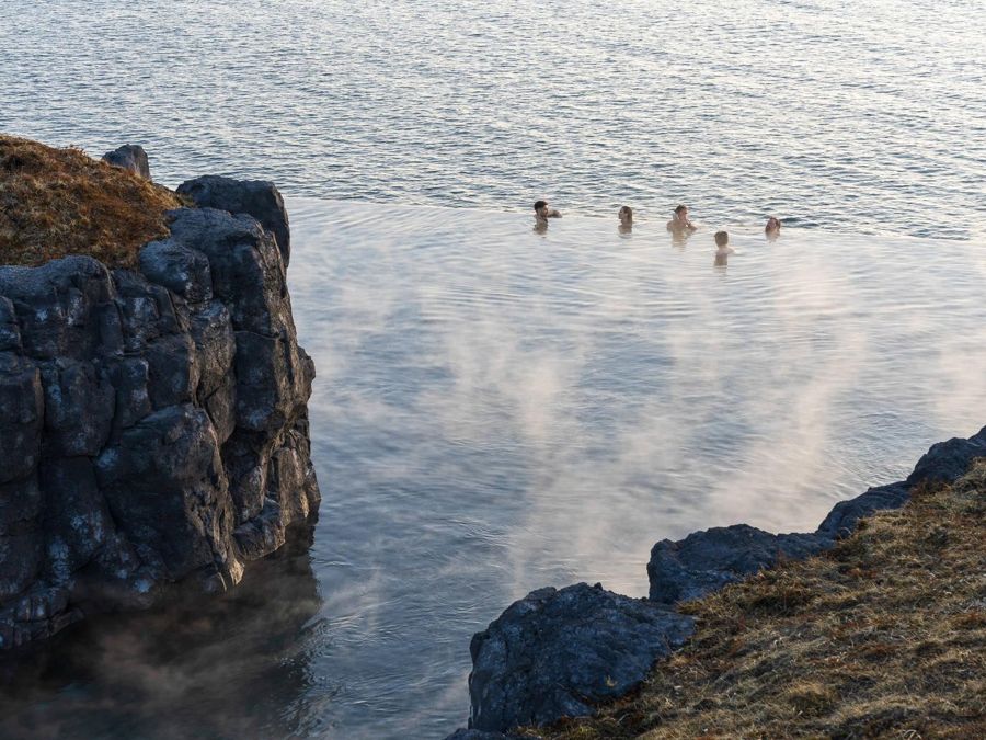
Reykjavik: Sky Lagoon Entrance Pass With 7-Step Spa Ritual
★ 4.8 · 7,388 reviewsTimed entry to Sky Lagoon and the seven-step ritual, no transfer included
Beyond the routed table
Not every destination this page's table covers reaches as far as Reykjavik to hofn, a route that sits well past Jökulsárlón on the south-east coast and outside the routed figures given here. Jökulsárlón itself, the furthest point in the table, is 377.7 km one way and 5 hours 40 minutes of driving, which makes the round trip 11 hours 20 minutes before a single stop at the lagoon. Sold as a single day, that is an honest description only if the hours are stated plainly; sold as anything shorter, it is not.
For a route that runs past Jökulsárlón toward the south-east, the sensible planning unit is two days, not one extended one. A single day that already commits over eleven hours to driving leaves little room to add distance beyond it.
Common questions
Is the drive time from Reykjavik the same as the length of the tour?
No. The routed drive time is one way, driving only, with no stops. A tour or a self-drive day adds the return leg, plus however long is spent at each stop.
Which Golden Circle stop is closest to Reykjavik?
Þingvellir, at 47.6 km (29.6 mi) and 47 minutes one way. Geysir and Gullfoss sit further along the same loop, at 115.3 km and 123.1 km.
Is Gullfoss free to visit?
Gullfoss remains free to park at. Þingvellir, Geysir, Skogafoss, Seljalandsfoss and Solheimajokull all now charge a parking fee at their car parks.
How long does the ring road take to drive in full?
Vegagerðin describes Route 1 as more than 1,300 km, with other sources citing figures up to 1,328 km. A full circuit is generally planned as an eight-day trip rather than a single long drive.