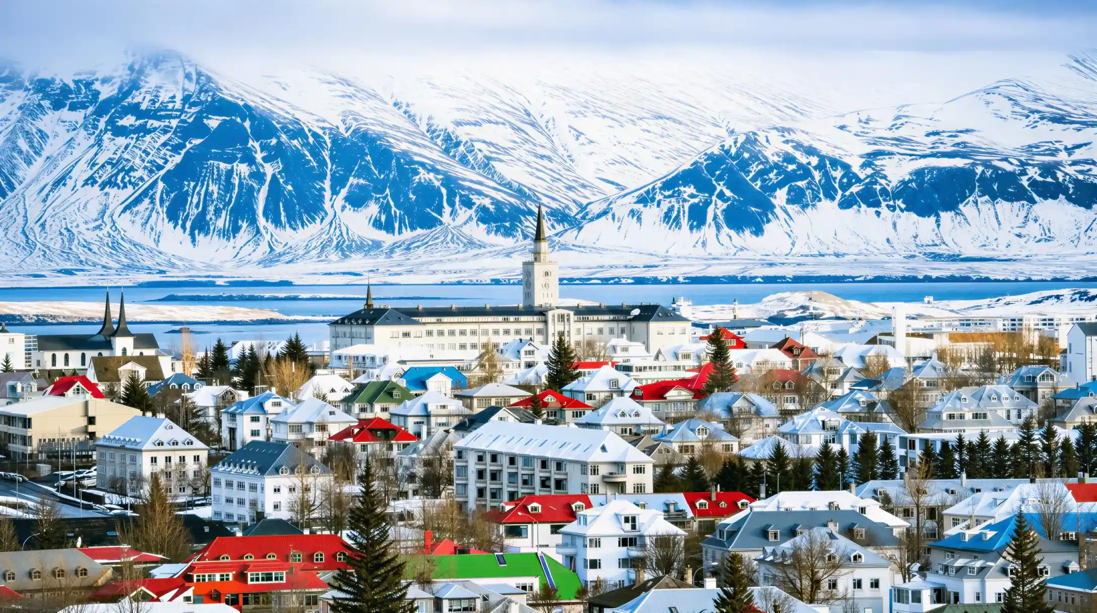
A short winter afternoon is not enough time for a highland trek, but it is enough for a walk within reach of the city. Anyone planning hiking near Reykjavik from a Reykjavik base is really choosing between a few well-known hills and valleys close enough to reach without a multi-day itinerary. The choice is narrower in winter, when daylight runs out fast, than in summer, when the evenings barely end. This page covers what is realistic on a day trip from the city and where to check conditions before setting out, not the multi-day treks through the interior that need their own planning.
 Our pick
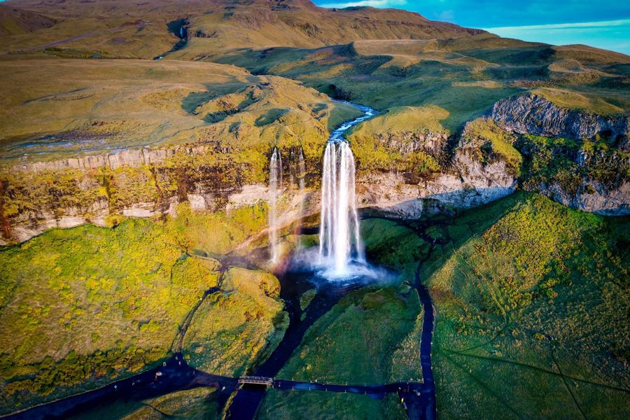
Reykjavik: South Coast Waterfalls, Black Sand & Glacier Tour
Guided coach transport, stops at south coast waterfalls, black sand beach and glacier viewpoint
Travelers who want ground covered outside the city on a guided day out
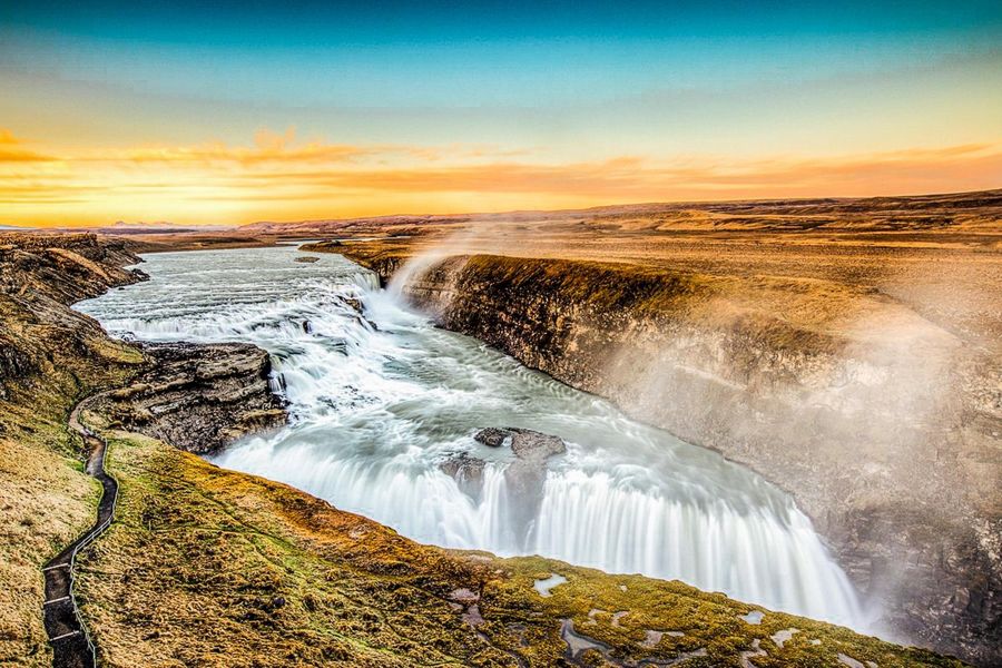
Reykjavik: Golden Circle Full-Day Tour with Kerid Crater
Guided coach transport, Þingvellir, Geysir, Gullfoss and Kerið crater
Travelers who want the classic loop with a crater walk included
What "near the city" actually means here
The mistake is picturing Reykjavik hiking as a single easy loop that starts downtown. It does not. The hills and valleys within reach of the city sit a drive away, not a walk from a hotel door, and each has its own character rather than one shared trail network. Some routes climb steadily to a summit view, others follow a valley floor toward a geothermal river, and the terrain underfoot changes with the season in ways that a flat map does not show.
Winter narrows the list further. A December afternoon in Reykjavik holds about 4.1 hours of daylight, against roughly 21.2 hours in June, so a route that feels unhurried in summer can turn into a race against dusk in December. Anyone comparing mountains in Reykjavik iceland for a winter trip should plan around that gap rather than around distance alone, since the light runs out long before most people expect it to.
Wind is the other variable that a summer itinerary does not prepare a reader for. Iceland's exposed hills and ridgelines catch gusts that a forecast for the city center will not reflect, and conditions on a summit can differ sharply from conditions at the trailhead. safetravel.is publishes outdoor safety guidance written by the people who carry out mountain rescues, and it is the right place to check before any hike near the city, not just before a highland trek.
- Daylight, June solstice
- 21.2 h
- Daylight, December solstice
- 4.1 h
- Average high, June
- 13.0 °C (55.4 °F)
- Average high, December
- 3.3 °C (37.9 °F)
- Average low, December
- -1.6 °C (29.1 °F)
The peak most visitors picture first
The mountain most people mean when they picture a walk from the city is esja Reykjavik, the ridge that dominates the skyline north across the bay. It looks close on a map and closer still from the shoreline, which leads some visitors to underestimate what a climb there involves. The summit sits well above the trailhead in elevation, and cloud can sit over the top on a day that looks clear from the city center.
The other misjudgment is timing. A route that looks short on a trail map can still take most of a short winter day once travel to and from the trailhead is counted, and darkness in December arrives well before a typical dinner hour. Checking conditions before departure matters here as much as anywhere else, since wind and cloud on an exposed ridge change faster than a city forecast suggests.
{'activity_id': '400599', 'name': 'Reykjavik: Sky Lagoon Entrance Pass With 7-Step Spa Ritual', 'rating': '4.83/5 from 7,388 reviews', 'includes': 'Entry to the Sky Lagoon and the seven-step spa ritual', 'best_for': 'Travelers who want to end a day outdoors with a warm soak', 'link': '{{AFF_GYG_HIKING_NEAR_REYKJAVIK_6}}'}
Choosing between a valley and a summit
The instinct is to look for one definitive answer to best hiking in iceland near Reykjavik, but the honest answer depends on what a visitor actually wants from the day. A valley route toward a geothermal river rewards patience rather than fitness, ending at a warm stream rather than a view. A summit route rewards the climb itself, with the payoff at the top rather than along the way, and it asks more of a visitor's legs and lungs than a valley walk does.
Neither is objectively better, and treating best hikes near Reykjavik as a ranked list misses the point that the two kinds of route suit different days and different weather. A clear, calm day favors a summit for the view. An overcast or windy day favors a sheltered valley, where the payoff does not depend on visibility. Checking the forecast the morning of, rather than the week before, decides which type of route makes sense.
- Average high, September
- 11.4 °C (52.5 °F)
- Average low, September
- 6.2 °C (43.2 °F)
- Average annual precipitation
- 875.9 mm (34.5 in)
- Emergency number
- 112
What sits further out
Beyond the closest hills, other mountains near Reykjavik sit a longer drive away and reward a full day rather than a half day. A waterfall-fed gorge, a volcanic crag with a view back toward the coast, and trails shaped by more recent volcanic activity on the Reykjanes peninsula all sit within reach of a day trip, though each demands more driving time than the closest options near the city.
Reykjanes deserves a specific caution rather than a general one. The peninsula has seen repeated volcanic activity in recent years, and access to any given area depends on the current hazard assessment rather than on what a map or an old blog post says. Treating hiking trails around Reykjavik on Reykjanes as fixed and always open is the error; en.vedur.is publishes the current hazard status and is the source to check before heading there, since the assessment is dated and time-limited rather than a permanent all-clear.
{'activity_id': '67019', 'name': 'From Reykjavik: Northern Lights Bus Tour with Hot Cocoa', 'rating': '4.27/5 from 14,847 reviews', 'includes': 'Guided coach transport out of the city with a hot cocoa stop, aurora viewing conditions permitting', 'best_for': 'Travelers who want an evening out of the city after a day on foot', 'link': '{{AFF_GYG_HIKING_NEAR_REYKJAVIK_10}}'}
Getting there and back
The gap that trips up first-time visitors is assuming hiking trails near Reykjavik connect to downtown the way a city park does. They do not. Reaching most of them means a car, a rental, or a guided coach, and the return trip needs to be planned into the day rather than treated as an afterthought once the light starts to fade.
Layering matters as much as the route choice. Average temperatures at the coast do not describe conditions on an exposed ridge, where wind chill can make a mild-looking day feel far colder, and a change in weather can arrive faster than the forecast checked that morning suggested. Carrying a phone with the 112 emergency app active is standard advice from Iceland's search and rescue service, and it applies to a short afternoon walk as much as to a longer route.
Common questions
Is a car needed for hiking near Reykjavik?
Most of the hills and valleys within reach of the city sit outside the center, and reaching them means a rental car or a guided tour rather than a walk from a hotel. Some routes are reachable without a car, but options narrow without one.
How much daylight is there for a winter hike?
Around the December solstice, Reykjavik has about 4.1 hours of daylight, against roughly 21.2 hours in June. A winter route needs to fit inside that shorter window, including travel time to and from the trailhead.
Do conditions change quickly on exposed ridges?
Wind and cloud on a summit or ridgeline can differ sharply from what the city center forecast shows. Checking safetravel.is or the Icelandic Meteorological Office before setting out is standard practice rather than an extra step.
Is the Reykjanes peninsula safe to hike right now?
Reykjanes has seen repeated volcanic activity in recent years, and the current hazard assessment decides what is open. The assessment is dated and time-limited, so it needs checking close to the day of travel rather than relying on an older report.