Reykjavík: Glacier Hike, Waterfalls, & Black Sand Beach
- Guide works in English
- Duration per the operator: 12 hours
Twelve Hours Down the South Coast
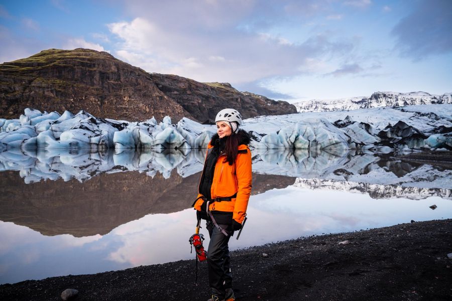
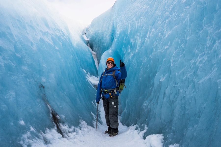
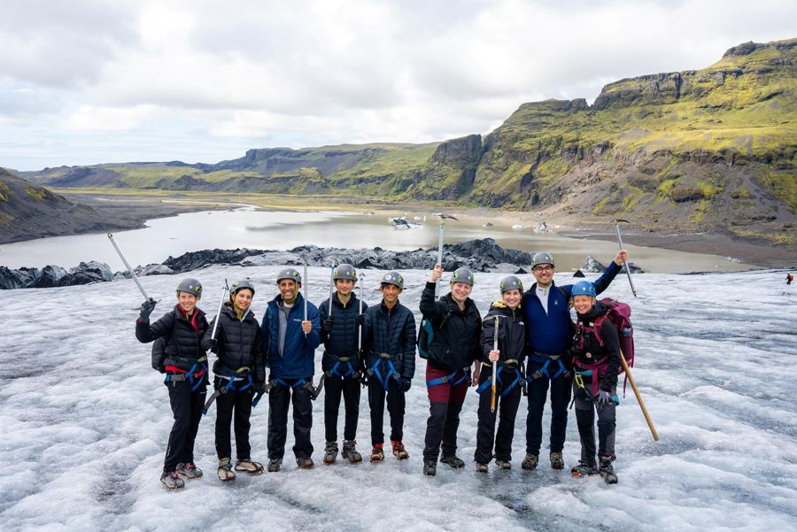
This tour leaves Reykjavik and runs for 12 hours, reaching the south coast’s most visited stretch of black sand and glacier tongue. You will travel about 230 km (143 miles) round trip, with the first stop at Reynisfjara black sand beach, then Vík í Mýrdal, and finally a glacier hike on a tongue of Mýrdalsjökull. The group is kept small, and an English-speaking guide leads the whole day. It suits travellers who want the classic south coast sights and a chance to walk on ice without committing to a multi-day expedition. The pace is steady, with the bulk of the driving in the morning and the hike in the afternoon. You need to be comfortable on your feet for a couple of hours on uneven, slippery ground. The tour runs from Reykjavik, so you will need to make your own way to the departure point in the city centre.
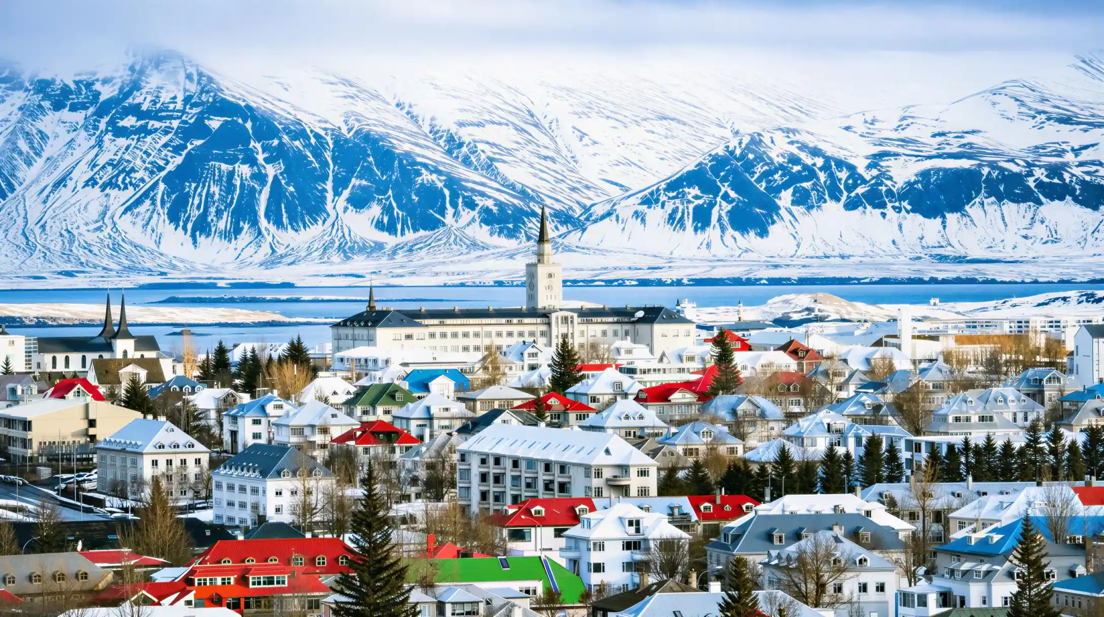
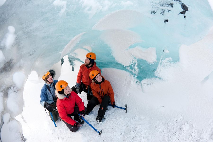
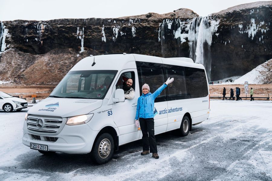
Photographs from the operator Arctic Adventures. They show the listing, not your day.
- Operator
- Arctic Adventures
- Duration
- 12 hours
- Departure point
- Reykjavik
- Group form
- small group
- Guiding
- guide
- In English
- yes
- Pickup from your hotel
- not stated
- Price
- from $201
- Rating
- 4.7 from 113 ratings
- Quality bar
- passed
What is included, what is not, and what the operator does not say
The catalogue distinguishes three states, and the third matters most: not stated does not mean excluded, it means unresolved.
| Service | Status | What that means for you |
|---|---|---|
| Admission to the site | not stated | admission not stated |
| Pickup from your hotel | not stated | Not stated, so plan to make your own way. |
| Food on the tour | not included | Not included. |
- Status
- not stated
- What that means for you
- admission not stated
- Status
- not stated
- What that means for you
- Not stated, so plan to make your own way.
- Status
- not included
- What that means for you
- Not included.
What the Price Covers and What It Does Not
The listed price starts at 201 USD per person. That covers transport from Reykjavik, the services of the English-speaking guide, and the glacier hike itself with the necessary safety gear for walking on the ice. Food is not included, so bring your own lunch or buy something at the stops along the way. The operator offers free cancellation, though no deadline is given. You will not pay an entry fee at Reynisfjara beach; the beach itself is free. Parking there costs 1,000 ISK per car in the lower lot nearest the sand, or 750 ISK in the upper lot about a five-minute walk away. On a guided tour, the coach parks and you do not handle that fee personally. The same applies to toilets at the beach, which are free. No other official surcharges are listed for this tour. The price you see is the price you plan around, with the only variable being what you choose to eat during the day.
The price in context
The starting price of this tour against the 4 best-evidenced listings in the same category that publish one. The highlighted bar is this tour.
Prices are the lowest bookable option, not the one that will necessarily suit you.
The figures behind this chart, as a table
| Row | Reykjavík: Glacier Hike, Waterfalls, &… | Reykjavík: South Coast Waterfalls, Bla… | Iceland: Full-Day South Coast, Black B… | Reykjavik: Glacier Hike, Waterfall and… | Reykjavik: South Coast, Diamond Beach,… |
|---|---|---|---|---|---|
| Starting price | 201 $ | 132 $ | 131 $ | 188 $ | 230 $ |
This tour against 4 comparable ones
All 5 come from the category “South coast day trips”. The column for this tour is highlighted; the others are the best-evidenced in the category.
| Reykjavík: Glacier Hike, Waterfalls, & Black Sand … | Reykjavík: South Coast Waterfalls, Black Sand & … | Iceland: Full-Day South Coast, Black Beach & … | Reykjavik: Glacier Hike, Waterfall and Black Sand … | Reykjavik: South Coast, Diamond Beach, and … | |
|---|---|---|---|---|---|
| Provider | Arctic Adventures | BusTravel Iceland | ICELANDIA | Glaciers and Waterfalls ehf | Gray Line Iceland |
| Price | from 201 $ | from 132 $ | from 131 $ | from 188 $ | from 230 $ |
| Duration | 12 hours | 10 hours | 10.5 hours | 11 hours | 14.5 hours |
| Group type | small group | group | group | group | group |
| In English | yes | yes | yes | yes | yes |
| Admission | not stated | not stated | not stated | not stated | not stated |
| Pickup | not stated | not stated | not stated | not stated | not stated |
| Rating (reviews) | 4.7 (113) | 4.8 (12,274) | 4.6 (1,811) | 4.8 (1,655) | 4.5 (1,494) |
| Quality floor | above the floor | above the floor | above the floor | above the floor | above the floor |
| Free cancellation until | not stated | not stated | not stated | not stated | not stated |
- Provider
- Arctic Adventures
- Price
- from 201 $
- Duration
- 12 hours
- Group type
- small group
- In English
- yes
- Admission
- not stated
- Pickup
- not stated
- Rating (reviews)
- 4.7 (113)
- Quality floor
- above the floor
- Free cancellation until
- not stated
- Provider
- BusTravel Iceland
- Price
- from 132 $
- Duration
- 10 hours
- Group type
- group
- In English
- yes
- Admission
- not stated
- Pickup
- not stated
- Rating (reviews)
- 4.8 (12,274)
- Quality floor
- above the floor
- Free cancellation until
- not stated
- Provider
- ICELANDIA
- Price
- from 131 $
- Duration
- 10.5 hours
- Group type
- group
- In English
- yes
- Admission
- not stated
- Pickup
- not stated
- Rating (reviews)
- 4.6 (1,811)
- Quality floor
- above the floor
- Free cancellation until
- not stated
- Provider
- Glaciers and Waterfalls ehf
- Price
- from 188 $
- Duration
- 11 hours
- Group type
- group
- In English
- yes
- Admission
- not stated
- Pickup
- not stated
- Rating (reviews)
- 4.8 (1,655)
- Quality floor
- above the floor
- Free cancellation until
- not stated
- Provider
- Gray Line Iceland
- Price
- from 230 $
- Duration
- 14.5 hours
- Group type
- group
- In English
- yes
- Admission
- not stated
- Pickup
- not stated
- Rating (reviews)
- 4.5 (1,494)
- Quality floor
- above the floor
- Free cancellation until
- not stated
The order follows the weight of evidence and not the commission. Every value comes from the same catalogue fields, so that the columns compare.
How many people have judged it?
The number of ratings per listing, the score in brackets. A score without the population behind it tells you nothing.
This site's quality bar sits at ten ratings. Below that is not a verdict, it is chance.
The figures behind this chart, as a table
| Row | Reykjavík: Glacier Hike, Water… (4.7) | Reykjavík: South Coast Waterfa… (4.8) | Iceland: Full-Day South Coast,… (4.6) | Reykjavik: Glacier Hike, Water… (4.8) | Reykjavik: South Coast, Diamon… (4.5) |
|---|---|---|---|---|---|
| Ratings | 113 ratings | 12,274 ratings | 1,811 ratings | 1,655 ratings | 1,494 ratings |
What a 4.7 Score Means Here
The tour holds a 4.7 rating, but that score comes from only 113 reviews. That is a small sample, so treat the number as a positive sign rather than a statistical guarantee. Within the south coast tour category, which holds 81 listings, this tour ranks 17th overall. That rank is based on the strength of the evidence, not purely on the score. By price, it sits 19th of 81, placing it among the cheapest quarter of its group, with prices in the category ranging from 116 to 4,044 USD. The number of reviews puts it 19th as well, meaning it has less public feedback than many competitors. The 4.7 itself is solid, but with 113 votes, a single poor experience moves it noticeably. What you can take from this is that early customers have been broadly satisfied, and the operator has enough track record to be taken seriously, but you are not looking at a tour with thousands of confirmations behind it.
The day, stop by stop
The order follows the usual run of the day. Each stop names what is there and the figures behind it; everything else is in the data sheet.
Meeting point
You make your own way there; the duration counts from that point.
Reykjavik
- Population of Reykjavik (city proper)139,804Statistics Iceland
- Daylight on the June solstice21.2 hGaisma (sun-path almanac)
- Daylight on the December solstice4.1 hGaisma (sun-path almanac)
Reynisfjara black sand beach
- Parking fee, lower lot (nearest the beach)1,000 ISKReynisfjara Beach (site operator, payment via Parka)
- What the warning lights meanYellow: do not enter the yellow-marked zone. Red: do not go past the light sign at all; stay up on the beach ridgeFerðamálastofa (Icelandic Tourist Board)
- Officially cited death toll (as of the 2022 accident)12 serious search-and-rescue call-outs in the preceding 7 years, 5 of which ended in deathIcelandic police, reported by miðjan.is
Vík í Mýrdal
- Road distance from Reykjavik186.9 kmOpenStreetMap road network, routed with OSRM
- Driving time from Reykjavik167 minOpenStreetMap road network, routed with OSRM
- Average annual rainfall2,333 mmIcelandic Meteorological Office (Veðurstofa Íslands)
Back to where you started
Back to the full list
A place on this list is a stop, not a promise about how long you spend there.
Temperatures in Reykjavik across the year
Mean daily high and mean daily low per month. Two series, one axis; the points mark the warmest and the coolest month.
There is little shelter at most of these sites. The figures are long-run outdoor averages and not a forecast.
The figures behind this chart, as a table
| Row | Jan | Feb | Mar | Apr | May | Jun | Jul | Aug | Sep | Oct | Nov | Dec |
|---|---|---|---|---|---|---|---|---|---|---|---|---|
| Daily high | 3.2 degrees C | 3.3 degrees C | 4.2 degrees C | 6.9 degrees C | 10.1 degrees C | 13 degrees C | 14.9 degrees C | 14.1 degrees C | 11.4 degrees C | 7.6 degrees C | 4.7 degrees C | 3.3 degrees C |
| Daily low | -1.7 degrees C | -1.9 degrees C | -1.3 degrees C | 1 degrees C | 4 degrees C | 7.2 degrees C | 9.1 degrees C | 8.6 degrees C | 6.2 degrees C | 2.7 degrees C | -0.1 degrees C | -1.6 degrees C |
When the Daylight and the Cold Line Up
Reykjavik’s monthly highs run from 3 degrees in January to 15 degrees in July, with lows from minus 2 to 9 degrees. For a 12-hour day that starts and ends in the city, the limiting factor is daylight, not temperature. From November through February, the sun rises late and sets early, leaving you with roughly five to six hours of usable light. A tour that spends three hours driving each way will eat most of that before you reach the glacier. The months from May to August give you the opposite problem: nearly endless daylight, with highs of 10 to 15 degrees, which is comfortable for walking on ice. April and September sit in a workable middle, with highs of 7 and 11 degrees and enough light for the full itinerary. October sees highs of 8 degrees and rapidly shortening days, making it a borderline month. If you want the full glacier experience without rushing in the dark, aim for May through September. The time of day matters less than the season, since the tour runs through the middle of the day regardless.
The full data sheet
Everything below comes from the operator's own catalogue entry or from the sources named in the last column. Where a field is blank, the operator did not fill it in, and that is recorded as unstated rather than guessed.
Download the full table as CSV · 134 rows
Show all 134 figures
| Fact | Value | Source |
|---|---|---|
| The listing27 | ||
| Operator's own title | Reykjavík: Glacier Hike, Waterfalls, & Black Sand Beach | GetYourGuide catalogue |
| Operator | Arctic Adventures | GetYourGuide catalogue |
| Product number | 95292 | GetYourGuide catalogue |
| Departure point | Reykjavik | GetYourGuide catalogue |
| Duration | 12 hours | GetYourGuide catalogue |
| Multi-day | no | GetYourGuide catalogue |
| Starting price | $201 | GetYourGuide, live check |
| Starting price in local currency | about 24,352 ISK | Rate 121.15 ISK to the USD |
| Rating | 4.7 out of 5 | GetYourGuide, live check |
| Number of ratings | 113 | GetYourGuide, live check |
| This project's quality bar | passed | Own rule: at least 4.0 from at least 10 ratings |
| Rank within its category | 17 of 81 in “South coast day trips” | Own analysis, score weighted by the number of ratings |
| Admission to the site | not stated | GetYourGuide catalogue |
| Food on the tour | not included | GetYourGuide catalogue |
| Pickup from your hotel | not stated | GetYourGuide catalogue |
| Kind of guiding | guide | GetYourGuide catalogue |
| Guiding languages | English | GetYourGuide catalogue |
| Guide works in English | yes | GetYourGuide catalogue |
| Bookable privately | no | GetYourGuide catalogue |
| Small group | yes | GetYourGuide catalogue |
| Group form per the operator | not stated | GetYourGuide catalogue |
| Priority entry | no | GetYourGuide catalogue |
| Suitable for wheelchair users | not stated | GetYourGuide catalogue |
| Free cancellation | yes | GetYourGuide catalogue |
| Cancellation deadline | not stated | GetYourGuide catalogue |
| Basis in the catalogue | not stated | Own check of the catalogue fields |
| Operator's images | 5 photographs | GetYourGuide catalogue |
| Reykjavik37 | ||
| Population of Reykjavik (city proper) | 139,804 | Statistics Iceland |
| Population of the greater capital region | 253,230 | Statistics Iceland |
| Area of the city | 244 km2 | Wikipedia |
| City charter granted | 18 August 1786 | Wikipedia |
| Weather station for the climate figures below | Reykjavík station (station no. 1), Icelandic Meteorological Office | Icelandic Meteorological Office (Veðurstofa Íslands) |
| Average high in January | 3.2 °C | Icelandic Meteorological Office |
| Average high in February | 3.3 °C | Icelandic Meteorological Office |
| Average high in March | 4.2 °C | Icelandic Meteorological Office |
| Average high in April | 6.9 °C | Icelandic Meteorological Office |
| Average high in May | 10.1 °C | Icelandic Meteorological Office |
| Average high in June | 13 °C | Icelandic Meteorological Office |
| Average high in July | 14.9 °C | Icelandic Meteorological Office |
| Average high in August | 14.1 °C | Icelandic Meteorological Office |
| Average high in September | 11.4 °C | Icelandic Meteorological Office |
| Average high in October | 7.6 °C | Icelandic Meteorological Office |
| Average high in November | 4.7 °C | Icelandic Meteorological Office |
| Average high in December | 3.3 °C | Icelandic Meteorological Office |
| Average low in January | -1.7 °C | Icelandic Meteorological Office |
| Average low in February | -1.9 °C | Icelandic Meteorological Office |
| Average low in March | -1.3 °C | Icelandic Meteorological Office |
| Average low in April | 1 °C | Icelandic Meteorological Office |
| Average low in May | 4 °C | Icelandic Meteorological Office |
| Average low in June | 7.2 °C | Icelandic Meteorological Office |
| Average low in July | 9.1 °C | Icelandic Meteorological Office |
| Average low in August | 8.6 °C | Icelandic Meteorological Office |
| Average low in September | 6.2 °C | Icelandic Meteorological Office |
| Average low in October | 2.7 °C | Icelandic Meteorological Office |
| Average low in November | -0.1 °C | Icelandic Meteorological Office |
| Average low in December | -1.6 °C | Icelandic Meteorological Office |
| Average annual precipitation | 875.9 mm | Icelandic Meteorological Office |
| Daylight on the June solstice | 21.2 h | Gaisma (sun-path almanac) |
| Daylight on the December solstice | 4.1 h | Gaisma (sun-path almanac) |
| Main gateway airport | KEF | Isavia |
| Drive time from Keflavik Airport to downtown Reykjavik | 45 min | Flybus (Kynnisferðir) |
| Single city bus fare (Strætó) | 690 ISK | Strætó bs |
| One-way airport bus fare (Flybus, KEF to Reykjavik) | 3,999 ISK | Flybus (Kynnisferðir) |
| Taxi fare from Keflavik Airport to Reykjavik | 22,500 ISK | Hreyfill (taxi cooperative) |
| Reynisfjara black sand beach24 | ||
| Beach entry fee | 0 ISK | Reynisfjara Beach (site operator) |
| Parking fee, lower lot (nearest the beach) | 1,000 ISK | Reynisfjara Beach (site operator, payment via Parka) |
| Parking fee, upper lot (about 5 min walk) | 750 ISK | Reynisfjara Beach (site operator, payment via Parka) |
| Toilet fee | 0 ISK | Reynisfjara Beach (site operator) |
| Car park access hours | Open 24 hours, year-round | Reynisfjara Beach (site operator) |
| Warning-light system installed | December 2022 | Ferðamálastofa (Icelandic Tourist Board) |
| Signage installed | 1 illuminated light sign, 3 large information signs, 6 guide signs and a 300 m chain marking the safe route | Ferðamálastofa (Icelandic Tourist Board) |
| What the warning lights mean | Yellow: do not enter the yellow-marked zone. Red: do not go past the light sign at all; stay up on the beach ridge | Ferðamálastofa (Icelandic Tourist Board) |
| How the light is triggered | An automated wave-forecasting model built by Vegagerðin (Icelandic Road and Coastal Administration), fed by live surveillance cameras streamed to the police station in Selfoss | Ferðamálastofa (Icelandic Tourist Board) |
| Red-light hazard threshold lowered | The wave-height danger criteria were tightened so the red warning light now triggers roughly 30% more often than before | Iceland Review |
| Physical closure gate added | A gate was installed across the walkway down to the beach so that Stuðlaberg (the basalt columns) and Hálsanefshellir cave are physically closed off whenever the red warning light is active | mbl.is (Morgunblaðið / Iceland Monitor) |
| Most recent recorded death | A 9-year-old German girl was swept into the sea near Hálsanefshellir cave on 2 August 2025; a Coast Guard helicopter reached the scene 26 minutes after the call but she was not located for about two hours and later died | The Reykjavík Grapevine |
| 2022 death and near-miss | An 80-year-old Canadian man was swept out to sea and killed on 10 June 2022; the next day, 11 June, a group of six people including a German family was caught by a wave at the same spot but escaped without serious injury | Iceland Review |
| Officially cited death toll (as of the 2022 accident) | 12 serious search-and-rescue call-outs in the preceding 7 years, 5 of which ended in death | Icelandic police, reported by miðjan.is |
| 2016 death | A tourist was swept away and killed by a wave on 10 February 2016; a rescue boat recovered him but he was already dead on arrival | Vísir |
| 2007 death | An 80-year-old American woman was swept into the sea and killed by a wave | Vísir, citing Landsbjörg (ICE-SAR) |
| Major rockfall/landslide, 2019 | About 25,000 m3 of rock fell across roughly 5,200 m2 at the eastern end of the beach on 21 August 2019; a rockfall injured three people at the same spot the day before | Veðurstofa Íslands (Icelandic Meteorological Office) |
| Cave roof collapse, 2013 | About 100 tonnes of basalt rock fell from the roof of Hálsanefshellir cave on 16 November 2013; no one was hurt | Vísir |
| Severe coastal erosion, February 2026 | Sustained storms in January-February 2026 stripped sand from the beach and caused the most dramatic short-term change ever recorded there: the shoreline retreated as far as the warning signs, a large bank collapsed off Reynisfjall, and Hálsanefshellir cave was left sitting in the surf and inaccessible | RÚV (Icelandic National Broadcasting Service) |
| Nature-conservation status | Reynisfjara, Reynisfjall, Reynisdrangar, Dyrhólaós and Loftsalahellir are entered in Iceland's Nature Conservation Register | Umhverfisstofnun (Environment Agency of Iceland) |
| UNESCO Global Geopark membership | Part of the Katla UNESCO Global Geopark, designated in 2015 | UNESCO |
| Neighbouring Kirkjufjara beach closed to the public | The adjoining Kirkjufjara beach, reached through the same cliffs, has been off-limits to visitors since a series of rockfalls and drownings between 2012 and 2017 | Umhverfisstofnun (Environment Agency of Iceland) |
| Road distance from Reykjavik | 188 km · Computed over the OpenStreetMap road network, not quoted from a tour operator. Driving only: no stops, no ferry, no winter closures, and a car rather than a coach that has to load forty people at every stop. | OpenStreetMap road network, routed with OSRM |
| Driving time from Reykjavik | 169 min · Computed over the OpenStreetMap road network, not quoted from a tour operator. Driving only: no stops, no ferry, no winter closures, and a car rather than a coach that has to load forty people at every stop. | OpenStreetMap road network, routed with OSRM |
| Vík í Mýrdal19 | ||
| Population, Vík í Mýrdal locality | 740 | Statistics Iceland (Hagstofa Íslands), table MAN030102 |
| Population, Mýrdalshreppur municipality | 1,004 | Statistics Iceland (Hagstofa Íslands), table MAN02005 |
| Population passed 1,000 for the first time | Mýrdalshreppur's municipal population rose from 881 (2024) to 965 (2025) to 1,004 (2026), the first time it has passed 1,000 | Statistics Iceland (Hagstofa Íslands), table MAN02005 |
| Municipality area | 755 km2 | Wikipedia |
| Church doubles as flood evacuation point | Standing on high ground above the village, Víkurkirkja is considered one of the few buildings likely to survive a Katla-triggered glacial flood, and serves as the village's designated evacuation point | Wikipedia |
| Katla volcano, last eruption through the ice cap | 1918 (started 12 October, lasted 24 days) | Icelandic Meteorological Office (Veðurstofa Íslands) |
| Katla's historical eruption interval | About every 50 years on average from Iceland's settlement until 1918; over 100 years have now passed since the last eruption broke through the ice | Icelandic Meteorological Office (Veðurstofa Íslands) |
| Official Katla/Eyjafjallajökull civil-protection response plan | 30 September 2017 | Almannavarnir (Icelandic Civil Protection) |
| Evacuation response time built into the Katla plan | 15-20 min for Sólheimabær, up to 30 min elsewhere in the hazard zone; seismic monitoring may give 4-6 hours' warning before an eruption starts | Almannavarnir (Icelandic Civil Protection) |
| Official rockfall/snow-avalanche hazard assessment for the town | Confirmed by the Minister for the Environment on 10 February 2010, based on Veðurstofa Íslands fieldwork carried out in 2008-2009 | Icelandic Meteorological Office (Veðurstofa Íslands) |
| Average annual rainfall | 2,333 mm | Icelandic Meteorological Office (Veðurstofa Íslands) |
| Wettest year on record | 2,887 mm | Icelandic Meteorological Office (Veðurstofa Íslands) |
| Single-day rainfall record | 150.3 mm | Icelandic Meteorological Office (Veðurstofa Íslands) |
| Highest temperature on record | 28.5 C | Icelandic Meteorological Office (Veðurstofa Íslands) |
| Lowest temperature on record | -16.9 C | Icelandic Meteorological Office (Veðurstofa Íslands) |
| Ranking among Iceland's weather stations | One of Iceland's two warmest weather stations for the year as a whole, together with Vestmannaeyjar | Icelandic Meteorological Office (Veðurstofa Íslands) |
| Hotel rooms in the village | 1,400 | Wikipedia |
| Road distance from Reykjavik | 186.9 km · Computed over the OpenStreetMap road network, not quoted from a tour operator. Driving only: no stops, no ferry, no winter closures, and a car rather than a coach that has to load forty people at every stop. | OpenStreetMap road network, routed with OSRM |
| Driving time from Reykjavik | 167 min · Computed over the OpenStreetMap road network, not quoted from a tour operator. Driving only: no stops, no ferry, no winter closures, and a car rather than a coach that has to load forty people at every stop. | OpenStreetMap road network, routed with OSRM |
| Sources: Þingvellir National Park27 | ||
| Park entry fee, adult | 0 ISK | Arctic Adventures |
| Parking fee, car (up to 5 seats) | 1,000 ISK | Þingvellir National Park |
| Toilet fee | 0 ISK | Iceland Review |
| Visitor centre opening hours | 09:00-18:00 (Apr-Oct), 09:00-17:00 (Nov-Mar) | Þingvellir National Park |
| Park access season | Grounds open 24 hours, year-round | Arctic Adventures |
| Visitor centre exhibition fee, adult | 1,200 ISK | Þingvellir National Park |
| UNESCO World Heritage status since | 2,004 | UNESCO World Heritage Centre |
| Althing (Icelandic parliament) established | 930 | Þingvellir National Park |
| Year Althing stopped meeting at Thingvellir | 1,798 | Þingvellir National Park |
| National park established | 1,930 | Þingvellir National Park |
| Core protected area | 92.7 km2 | Wikipedia |
| Lake Þingvallavatn surface area | 84 km2 | Wikipedia |
| Lake Þingvallavatn, maximum depth | 114 m | Wikipedia |
| Tectonic plate drift rate | 2 cm/year | Þingvellir National Park |
| Silfra fissure water temperature | 2-4 C | Þingvellir National Park |
| Silfra fissure, maximum diving depth allowed | 18 m | Þingvellir National Park |
| Silfra diving/snorkeling park fee, per person | 1,500 ISK | DIVE.IS |
| Campsite fee, adult per night | 1,800 ISK | Þingvellir National Park |
| Campsite season | Summer season Jun 1-Sep 15; Nyrðri-Leirar open year-round | Þingvellir National Park |
| Wheelchair accessibility | Paved and boardwalk paths from parking lots P1, P2, P4 and P5 reach the main sights; lot P3's path is steep and unsuitable | Golden Circle Iceland |
| Safety warning | Snow can hide cracks and rifts near the Öxará riverbank; visitors are told to stay on marked paths | Þingvellir National Park |
| Recent path closure | Part of the Almannagjá gorge path closed evenings 18:00-23:00 through end of May for bridge repairs | Þingvellir National Park |
| Öxarárfoss waterfall height | 12 m | Iceland Review |
| Þingvallakirkja church built | 1,859 | Iceland Review |
| Women executed at Drekkingarhylur drowning pool | 18 | Iceland Review |
| Road distance from Reykjavik | 47.6 km · Computed over the OpenStreetMap road network, not quoted from a tour operator. Driving only: no stops, no ferry, no winter closures, and a car rather than a coach that has to load forty people at every stop. | OpenStreetMap road network, routed with OSRM |
| Driving time from Reykjavik | 47 min · Computed over the OpenStreetMap road network, not quoted from a tour operator. Driving only: no stops, no ferry, no winter closures, and a car rather than a coach that has to load forty people at every stop. | OpenStreetMap road network, routed with OSRM |
At the Stops
The day begins with a pickup in Reykjavik, then heads east. The first major stop is Reynisfjara, a black sand beach where the guide will lead you along the sand. The beach has no staffed entrance; you walk freely. The car park is the only built feature, and the toilets there are free. The guide sets the time you spend on the sand, and that time depends on the surf. The North Atlantic here is powerful, and the guide will keep the group well back from the waterline. After Reynisfjara, the tour passes through Vík í Mýrdal, the southernmost village on the mainland, where you may have a short break. The glacier hike itself is the final activity. There, you meet glacier guides who fit you with crampons and lead you onto the ice. The weather dictates how far you go. Rain and wind are common on the south coast, and the guide will adjust the route accordingly. There is no fixed opening hour for any of these stops; they are natural sites, and your schedule is set by the guide and the conditions.
Who Should Take This Tour
This tour suits travellers who want the south coast’s three headline features, the beach, the village, and the glacier, in a single day, and who are comfortable with a long day on a coach. The small group format means you are not herded in large numbers, and the English-speaking guide is there throughout. It is not for anyone with limited mobility. The operator states it is not wheelchair accessible, and the glacier hike requires walking on uneven ice with crampons. If you want a shorter day with the same coastal stops but no glacier, the South Coast Waterfalls, Black Sand and Glacier Tour runs 10 hours and starts from 132 USD, though it carries a far larger body of reviews. If the glacier is your priority and you want more time on the ice, the 11-hour Reykjavik glacier hike, waterfall and black sand beach tour from 188 USD is a closer match in length. For those who want to push further east to the iceberg lagoon, the 14.5-hour South Coast, Diamond Beach and Jökulsárlón tour from 230 USD adds two hours and a longer drive. This tour is the middle option: it gives you the glacier without the extra distance to the lagoon.
Similar tours on this site
Six listings a reader of this page is genuinely torn between: same departure point first, then the same destinations, then a similar length. Each card leads to a page with the same data sheet rather than straight to the operator, so you can compare before you book.
Reykjavik: Glacier Hike, Waterfall and Black Sand Beach
11 hoursGlaciers and Waterfalls ehf
4.81,655 reviews
- English-speaking guide
from $188To the page from $195To the page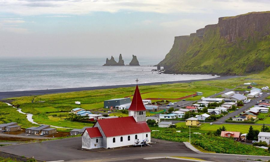
From Reykjavik: Private South Coast Tour & Black Sand Beach
10 hoursEasy Transfer ehf.
no reviews yet
- English-speaking guide
- Admission included
from $1726To the page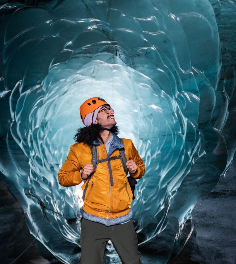
Reykjavik: Katla Ice Cave & South Coast Tour
12 hoursArctic Adventures
4.71,331 reviews
- English-speaking guide
- Hotel pickup
from $287To the page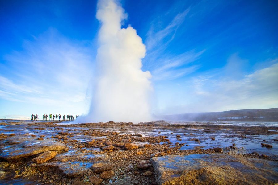
Reykjavik: Private Golden Circle and South Coast Tour
12 hoursIceland Premium Tours
5.0only 7 reviews
- English-speaking guide
- Hotel pickup
from $2000To the page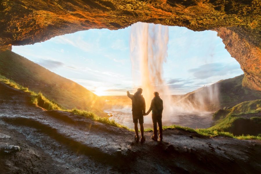
From Reykjavik: South Coast Full-Day Trip
11 hoursGeoIceland
4.8200 reviews
- English-speaking guide
- Hotel pickup
from $172To the page
The order follows how close a listing is to this one, not the commission. Ratings, prices and availability according to GetYourGuide, accessed on . Prices in US dollars; “from” is the provider's lowest entry price.
Common questions
Is admission included?
The catalogue does not say. Where the route is waterfalls and beaches there is nothing to pay; ask if it includes a paid attraction.
How long does the tour really take?
The catalogue gives 12 hours. That is the operator's own figure and covers the tour itself, not the time you spend getting to the meeting point.
Is there a guide who works in English?
Yes, the operator lists English as a guiding language. That is the operator's commitment, not a checked property of the person on the day.
Where do I find all the data on this tour?
In the data sheet on this page. It carries every field on the tour, on each place it visits and on the climate of the departure city, each with its source, and it downloads as a CSV.
Does this listing's rating mean anything?
Yes. 4.7 out of 5 from 113 is above the bar this site holds, which is 4.0 out of 5 from at least ten voices.
Reykjavík: Glacier Hike, Waterfalls, & Black Sand Beach
Dates, remaining places and the current version of what is included are at the operator. This page reflects the state of the catalogue, not the state of this morning.
Sources
Every figure on this page comes from one of these sources. The running text does not name them, so that it stays readable; the data sheet carries the source in every row.
- 1GetYourGuide: Reykjavík: Glacier Hike, Waterfalls, & Black Sand BeachTitle, duration, what is included, languages, cancellation deadline, stars, number of ratings and starting price.
- 2This project's exchange-rate record, partners/fx.json accessed 2026-09-07Prices are shown in USD as published, with an approximate ISK figure at the rate on the date given. The operator charges in its own currency.
- 3Statistics Iceland accessed 2026-09-07
- 4Statistics Iceland accessed 2026-09-07
- 5Wikipedia accessed 2026-09-07
- 6Icelandic Meteorological Office (Veðurstofa Íslands) accessed 2026-09-07
- 7Icelandic Meteorological Office accessed 2026-09-07
- 8Gaisma (sun-path almanac) accessed 2026-09-07
- 9Isavia accessed 2026-09-07
- 10Flybus (Kynnisferðir) accessed 2026-09-07
- 11Strætó bs accessed 2026-09-07
- 12Hreyfill (taxi cooperative) accessed 2026-09-07
- 13Reynisfjara Beach (site operator) accessed 2026-09-07
- 14Reynisfjara Beach (site operator, payment via Parka) accessed 2026-09-07
- 15Reynisfjara Beach (site operator) accessed 2026-09-07
- 16Ferðamálastofa (Icelandic Tourist Board) accessed 2026-09-07
- 17Iceland Review accessed 2026-09-07
- 18mbl.is (Morgunblaðið / Iceland Monitor) accessed 2026-09-07
- 19The Reykjavík Grapevine accessed 2026-09-07
- 20Iceland Review accessed 2026-09-07
- 21Icelandic police, reported by miðjan.is accessed 2026-09-07
- 22Vísir accessed 2026-09-07
- 23Vísir, citing Landsbjörg (ICE-SAR) accessed 2026-09-07
- 24Veðurstofa Íslands (Icelandic Meteorological Office) accessed 2026-09-07
- 25Vísir accessed 2026-09-07
- 26RÚV (Icelandic National Broadcasting Service) accessed 2026-09-07
- 27Umhverfisstofnun (Environment Agency of Iceland) accessed 2026-09-07
- 28UNESCO accessed 2026-09-07
- 29Umhverfisstofnun (Environment Agency of Iceland) accessed 2026-09-07
- 30OpenStreetMap road network, routed with OSRM accessed 2026-09-07
- 31Statistics Iceland (Hagstofa Íslands), table MAN030102 accessed 2026-09-07
- 32Statistics Iceland (Hagstofa Íslands), table MAN02005 accessed 2026-09-07
- 33Wikipedia accessed 2026-09-07
- 34Wikipedia accessed 2026-09-07
- 35Icelandic Meteorological Office (Veðurstofa Íslands) accessed 2026-09-07
- 36Almannavarnir (Icelandic Civil Protection) accessed 2026-09-07
- 37Almannavarnir (Icelandic Civil Protection) accessed 2026-09-07
- 38Icelandic Meteorological Office (Veðurstofa Íslands) accessed 2026-09-07
- 39Icelandic Meteorological Office (Veðurstofa Íslands) accessed 2026-09-07
- 40Statistics Iceland accessed 2026-09-07
- 41Wikipedia accessed 2026-09-08
- 42Icelandic Meteorological Office accessed 2026-09-07
- 43Iceland Review accessed 2026-09-07
- 44UNESCO accessed 2026-09-07
- 45Arctic Adventures accessed 2026-09-07
- 46Þingvellir National Park accessed 2026-09-07
- 47UNESCO World Heritage Centre accessed 2026-09-07
- 48DIVE.IS accessed 2026-09-07
- 49Golden Circle Iceland accessed 2026-09-07